
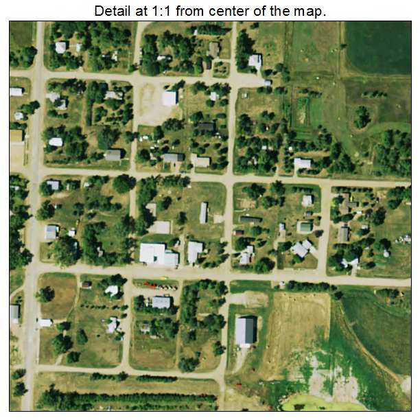
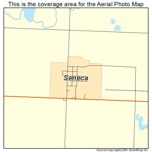
Aerial Photo Map of Seneca, SD We put your small town on the map! Want a custom area Aerial Photography Map, we have imagery for the entire USA. Interested in a Street Map of the same area? Interested in digital Aerial Photography so you can make/print your own map? Interested in USGS Topographic Maps also? |
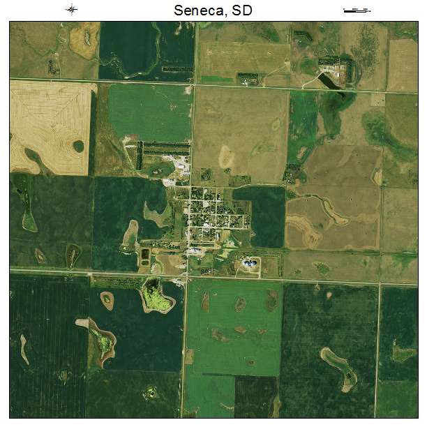
Seneca, SD South Dakota Aerial Photography Map 2021
https://www.landsat.com/seneca-south-dakota-aerial-photography-map.html?srsltid=AfmBOoops1-GWbfKE5Aw9ruaY7GpIVVi7DumCAFqaw7_0ww8sg7HWQ7J
2021 Aerial Photography Map of Seneca SD South Dakota
Image Trader
Product ID: APM-4658180
$19.97 New In Stock