
Aerial Photo Map of Georgetown, TX We put your small town on the map! Want a custom area Aerial Photography Map, we have imagery for the entire USA. Interested in a Street Map of the same area? Interested in digital Aerial Photography so you can make/print your own map? Interested in USGS Topographic Maps also? |
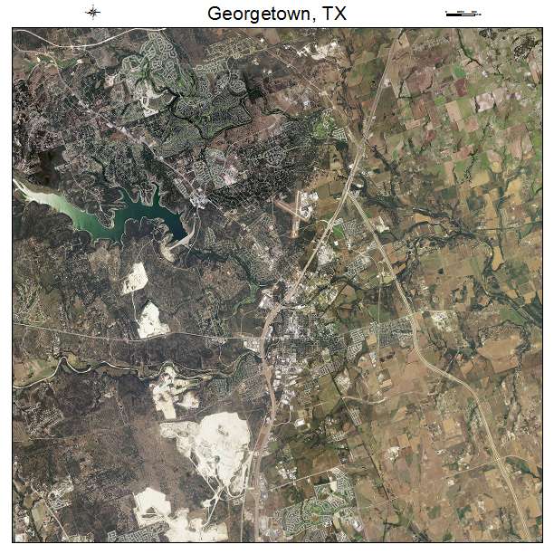
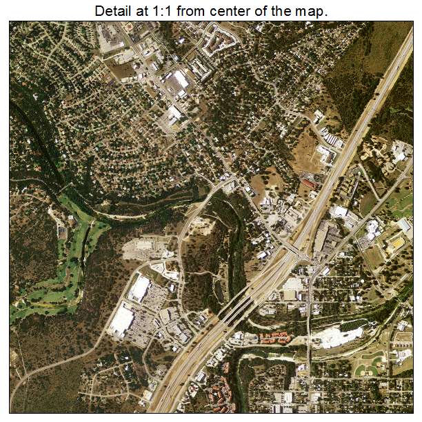
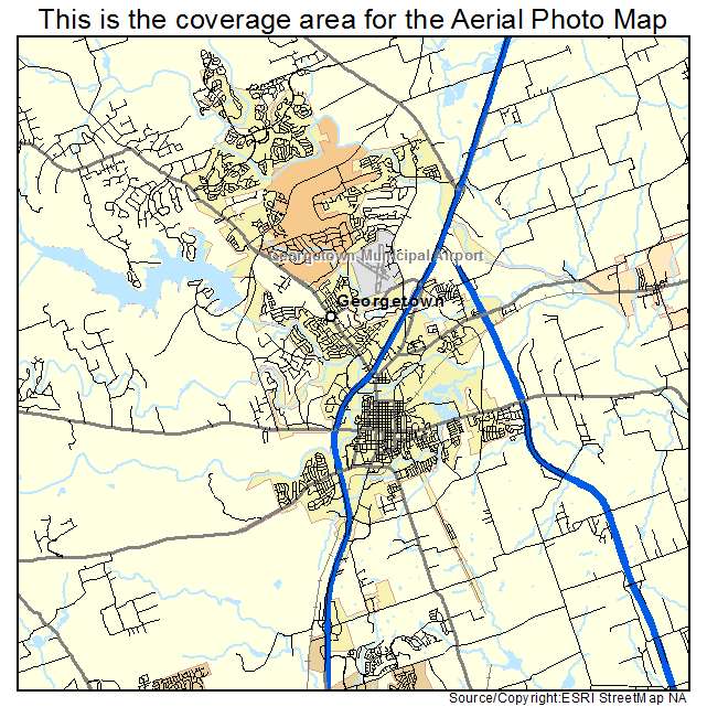
Georgetown, TX Texas Aerial Photography Map 2020
https://www.landsat.com/georgetown-texas-aerial-photography-map.html?srsltid=AfmBOoqvtt3ObwHg9O8csnWd7ta5L0U10HGHhnC9UAAdt__mOf6uhDG-
2020 Aerial Photography Map of Georgetown TX Texas
Image Trader
Product ID: APM-4829336
$19.97 New In Stock