

Street & Road Map of Wellesley, Massachusetts We put your small town on the map! Want a custom area Street Map, we have street data for the entire USA. |
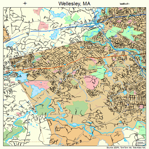
Wellesley, Massachusetts Street Map 2574210
https://www.landsat.com/wellesley-massachusetts-street-map-2574210.html
Street Map of Wellesley Massachusetts 2574210
Image Trader
Product ID: SM-2574210
$19.97 New In Stock