

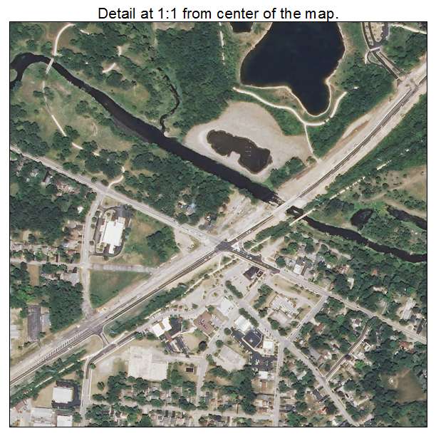
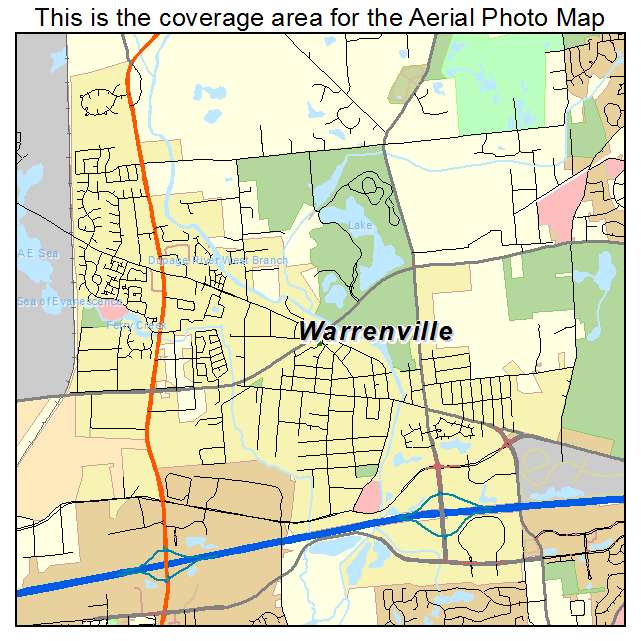
Aerial Photo Map of Warrenville, IL We put your small town on the map! Want a custom area Aerial Photography Map, we have imagery for the entire USA. Interested in a Street Map of the same area? Interested in digital Aerial Photography so you can make/print your own map? Interested in USGS Topographic Maps also? |
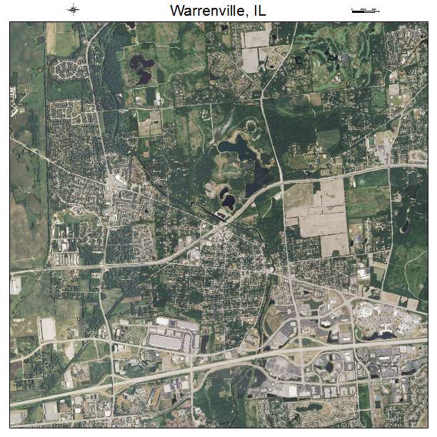
Warrenville, IL Illinois Aerial Photography Map 2021
https://www.landsat.com/warrenville-illinois-aerial-photography-map.html?srsltid=AfmBOoob3beoEXpGY_MUdelM2-FzkVm2Zhcc6Gr5McxyXVi7zSxLKuGL
2021 Aerial Photography Map of Warrenville IL Illinois
Image Trader
Product ID: APM-1778929
$19.97 New In Stock