

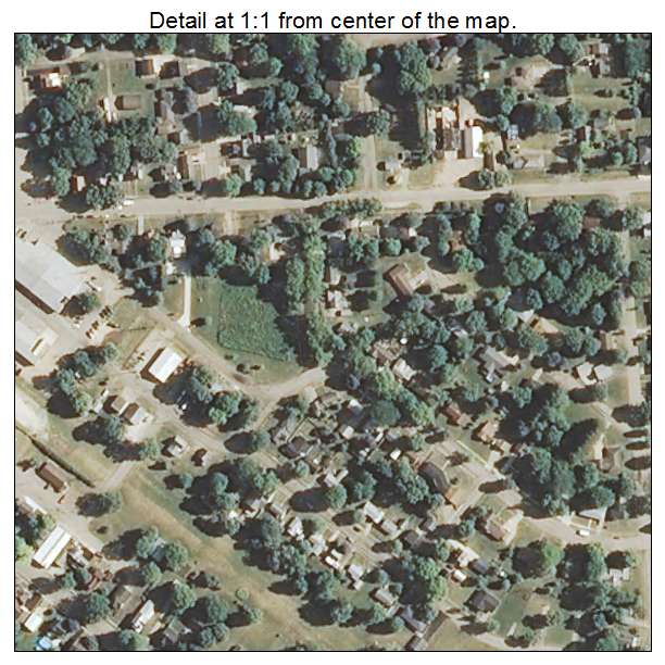
Aerial Photo Map of Walnut, IL We put your small town on the map! Want a custom area Aerial Photography Map, we have imagery for the entire USA. Interested in a Street Map of the same area? Interested in digital Aerial Photography so you can make/print your own map? Interested in USGS Topographic Maps also? |
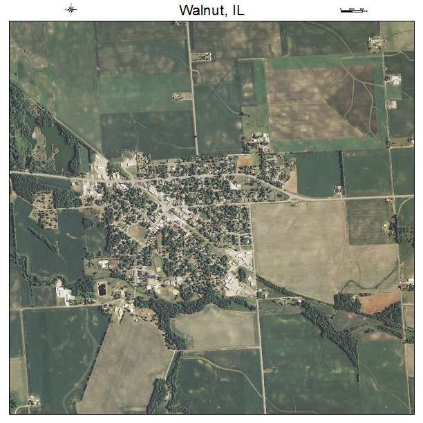
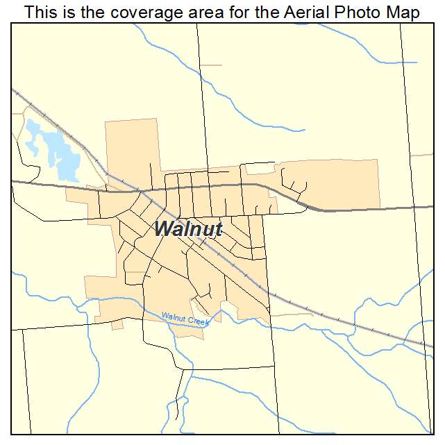
Walnut, IL Illinois Aerial Photography Map 2021
https://www.landsat.com/walnut-illinois-aerial-photography-map.html?srsltid=AfmBOoo-_X2wJ-D6EKGIS4tx1G0AK-bKUz2nUR98ZI9XwBq360_CSgqa
2021 Aerial Photography Map of Walnut IL Illinois
Image Trader
Product ID: APM-1778526
$19.97 New In Stock