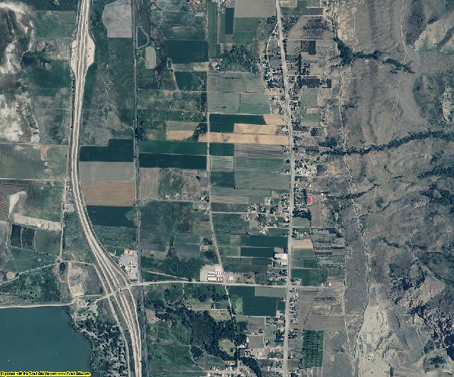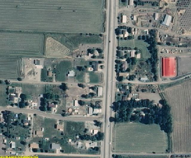

Box Elder County, UT aerial photo sample

Box Elder County, UT aerial imagery zoomed in! This shows the level of detail you will get for Utah
See samples from other locations: Airport Stadium School City Farm Farm zoomed in
2014 Utah Mosaic Dataset for ArcGIS 10 Product Information
The Mosaic Dataset eliminates 3 imagery problems:
1. NoData The Mosaic Dataset eliminates black areas between counties.
2. Color Balance - The data is color balanced between the counties & statewide.
3. Span UTM zones - The mosaic dataset re-projects the imagery so that it can be displayed across different UTM zones.
Info for the GIS professional:
ArcGIS, ArcView, ArcEditor, & ArcInfo are a registered trademark of Esri
