
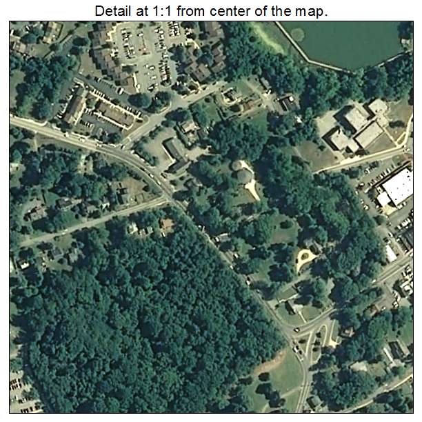
Aerial Photo Map of Upper Marlboro, MD We put your small town on the map! Want a custom area Aerial Photography Map, we have imagery for the entire USA. Interested in a Street Map of the same area? Interested in digital Aerial Photography so you can make/print your own map? Interested in USGS Topographic Maps also? |
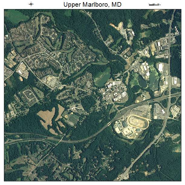
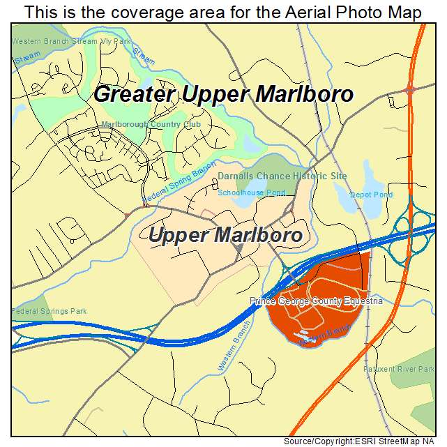
Upper Marlboro, MD Maryland Aerial Photography Map 2021
https://www.landsat.com/upper-marlboro-maryland-aerial-photography-map.html?srsltid=AfmBOorGUk9x2EdNga2Ps_02hqibbkW7dZ5tmaN9P9_X36P3182wNBmw
2021 Aerial Photography Map of Upper Marlboro MD Maryland
Image Trader
Product ID: APM-2479875
$19.97 New In Stock