

Aerial Photo Map of Trinity, NC We put your small town on the map! Want a custom area Aerial Photography Map, we have imagery for the entire USA. Interested in a Street Map of the same area? Interested in digital Aerial Photography so you can make/print your own map? Interested in USGS Topographic Maps also? |

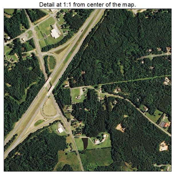
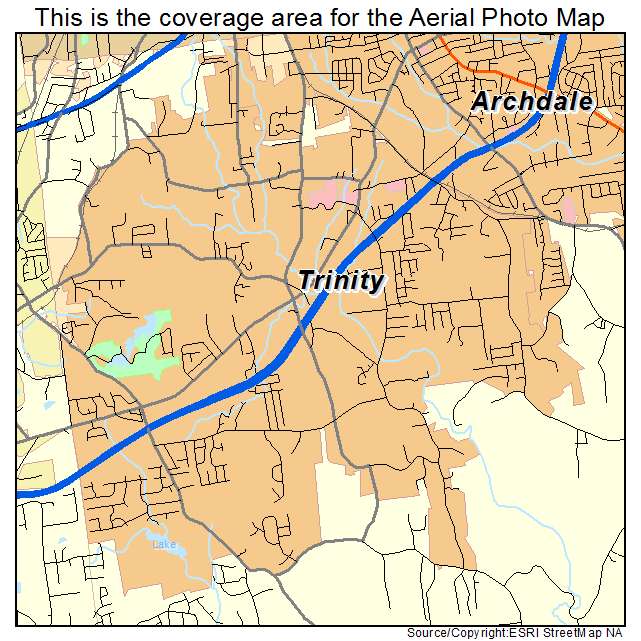
Trinity, NC North Carolina Aerial Photography Map 2020
https://www.landsat.com/trinity-north-carolina-aerial-photography-map.html?srsltid=AfmBOoojunZcB0uZ1R4bUtgst18NOAw2a5twqzmutprH-D7Al6n6O_M_
2020 Aerial Photography Map of Trinity NC North Carolina
Image Trader
Product ID: APM-3768400
$19.97 New In Stock