

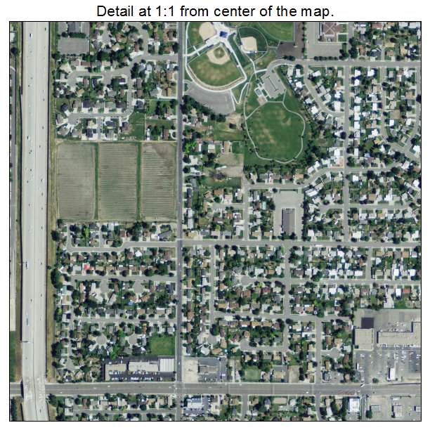
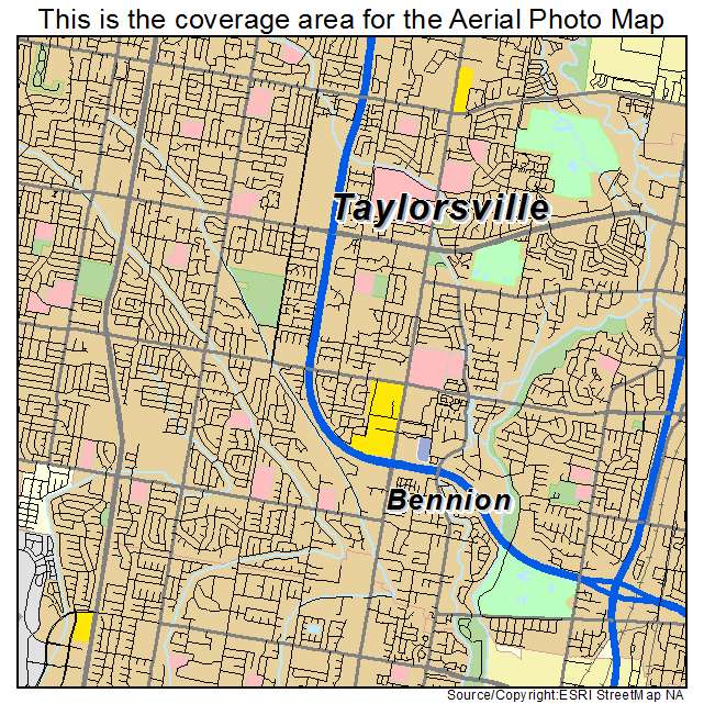
Aerial Photo Map of Taylorsville, UT We put your small town on the map! Want a custom area Aerial Photography Map, we have imagery for the entire USA. Interested in a Street Map of the same area? Interested in digital Aerial Photography so you can make/print your own map? Interested in USGS Topographic Maps also? |
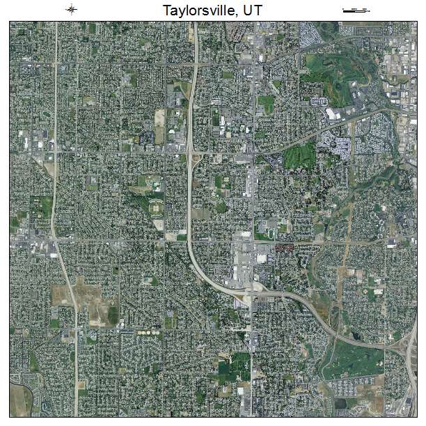
Taylorsville, UT Utah Aerial Photography Map 2021
https://www.landsat.com/taylorsville-utah-aerial-photography-map.html?srsltid=AfmBOoo_lCWnCYN43xot-iQ0_Pfwd-C7HS-NNvXE1x8L6DAWj3JqPA3p
2021 Aerial Photography Map of Taylorsville UT Utah
Image Trader
Product ID: APM-4975360
$19.97 New In Stock