

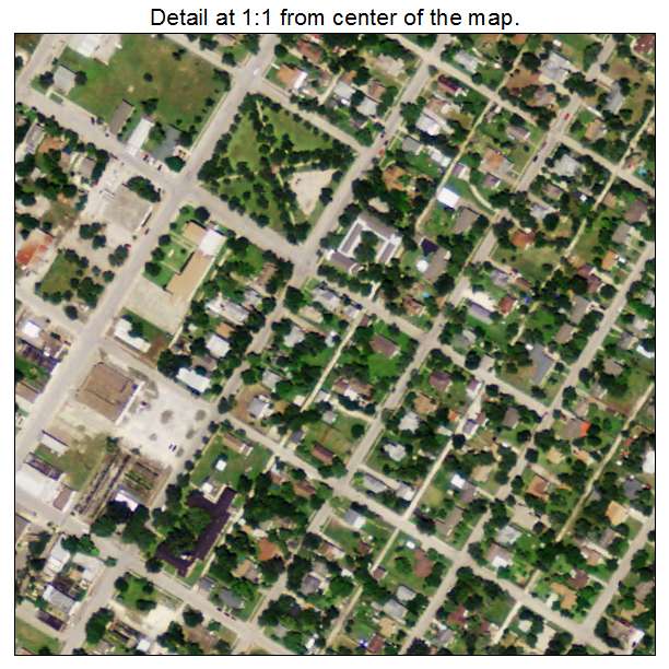
Aerial Photo Map of Taft, TX We put your small town on the map! Want a custom area Aerial Photography Map, we have imagery for the entire USA. Interested in a Street Map of the same area? Interested in digital Aerial Photography so you can make/print your own map? Interested in USGS Topographic Maps also? |
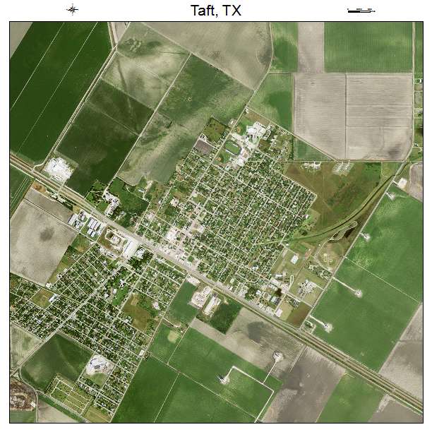

Taft, TX Texas Aerial Photography Map 2020
https://www.landsat.com/taft-texas-aerial-photography-map.html?srsltid=AfmBOorbGBB91u3swP6Tsg2x4Ze2UluO9ybIJV-v__H0tmZoH1b7jSJM
2020 Aerial Photography Map of Taft TX Texas
Image Trader
Product ID: APM-4871684
$19.97 New In Stock