
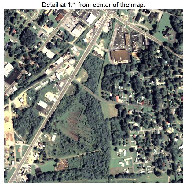
Aerial Photo Map of Summerville, GA We put your small town on the map! Want a custom area Aerial Photography Map, we have imagery for the entire USA. Interested in a Street Map of the same area? Interested in digital Aerial Photography so you can make/print your own map? Interested in USGS Topographic Maps also? |
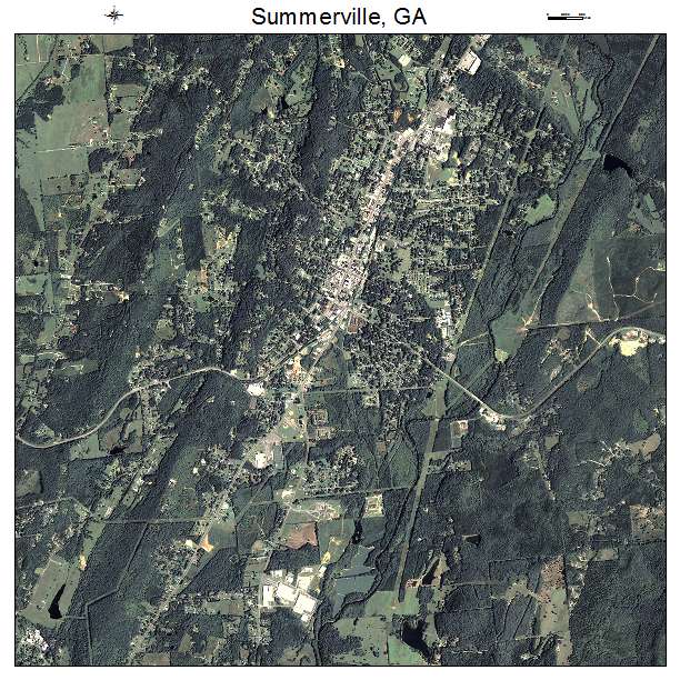
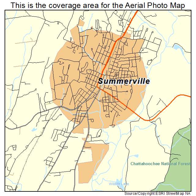
Summerville, GA Georgia Aerial Photography Map 2021
https://www.landsat.com/summerville-georgia-aerial-photography-map.html?srsltid=AfmBOop_o4DiTtEpashdp9R0ryE2w-Y3XShyRDfA1e5eLjz5p6Y1aBJq
2021 Aerial Photography Map of Summerville GA Georgia
Image Trader
Product ID: APM-1374376
$19.97 New In Stock