

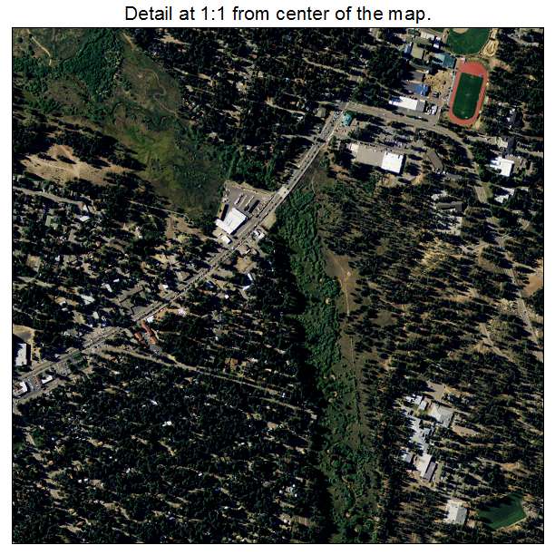
Aerial Photo Map of South Lake Tahoe, CA We put your small town on the map! Want a custom area Aerial Photography Map, we have imagery for the entire USA. Interested in a Street Map of the same area? Interested in digital Aerial Photography so you can make/print your own map? Interested in USGS Topographic Maps also? |
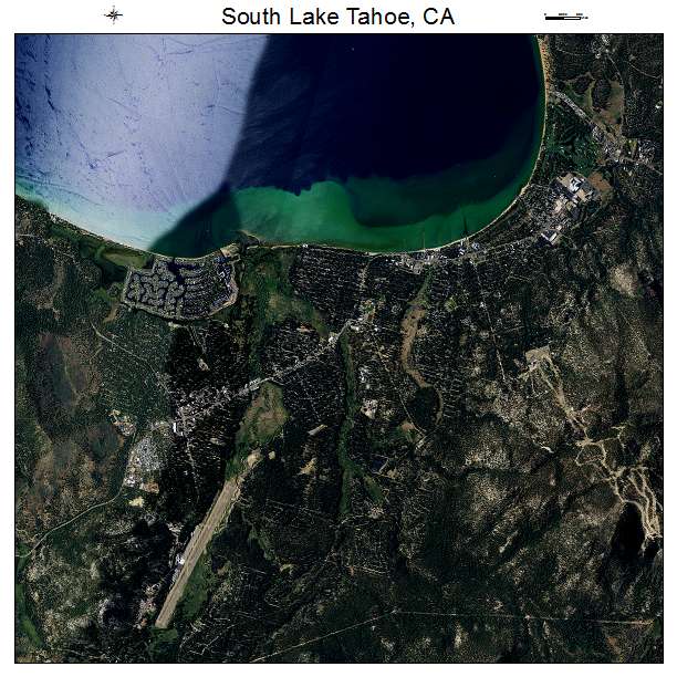
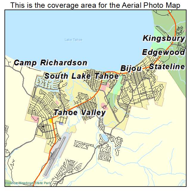
South Lake Tahoe, CA California Aerial Photography Map 2020
https://www.landsat.com/south-lake-tahoe-california-aerial-photography-map.html?srsltid=AfmBOoo0pmg0GOds4Tvm6HIngaQkJjAA7Gt056wxpB7ygm8DFmwbH5OS
2020 Aerial Photography Map of South Lake Tahoe CA California
Image Trader
Product ID: APM-0673108
$19.97 New In Stock