

Aerial Photo Map of Sorento, IL We put your small town on the map! Want a custom area Aerial Photography Map, we have imagery for the entire USA. Interested in a Street Map of the same area? Interested in digital Aerial Photography so you can make/print your own map? Interested in USGS Topographic Maps also? |
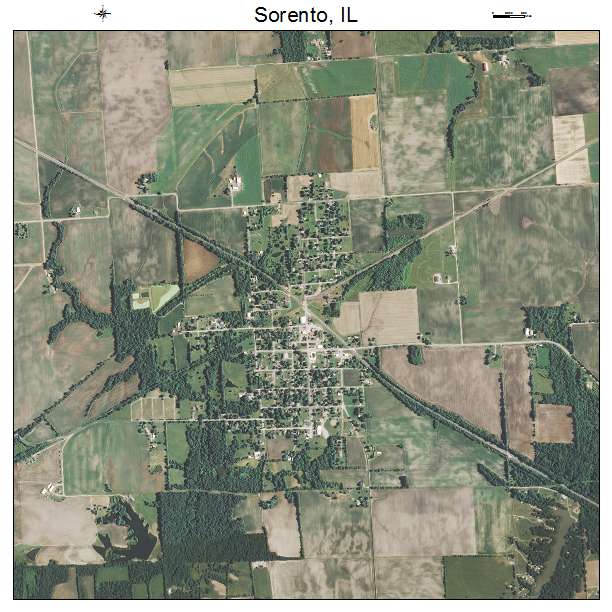
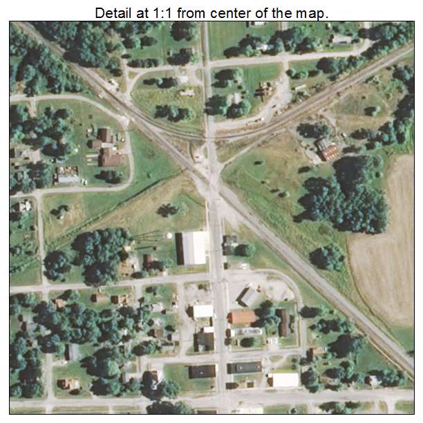
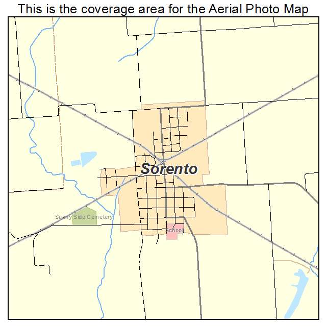
Sorento, IL Illinois Aerial Photography Map 2021
https://www.landsat.com/sorento-illinois-aerial-photography-map.html?srsltid=AfmBOopBm6bV_0r8E2ujnIQgY-4ytgxk7zpmR0I7ZlKTE_oVfWZW71Dq
2021 Aerial Photography Map of Sorento IL Illinois
Image Trader
Product ID: APM-1770525
$19.97 New In Stock