
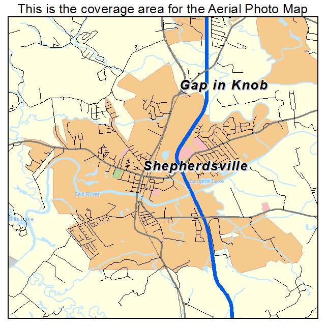
Aerial Photo Map of Shepherdsville, KY We put your small town on the map! Want a custom area Aerial Photography Map, we have imagery for the entire USA. Interested in a Street Map of the same area? Interested in digital Aerial Photography so you can make/print your own map? Interested in USGS Topographic Maps also? |
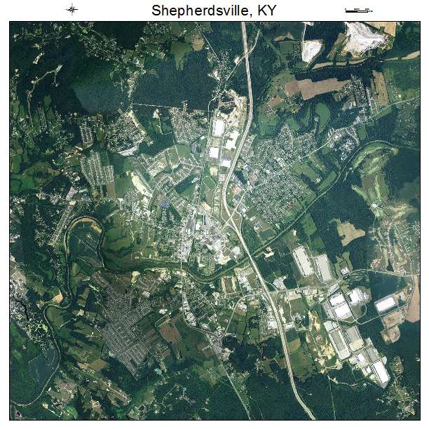

Shepherdsville, KY Kentucky Aerial Photography Map 2020
https://www.landsat.com/shepherdsville-kentucky-aerial-photography-map.html?srsltid=AfmBOors9M8VkUwAspmiWyMad8cCEK9PeQ5_w8fXnyKLRw22U4yYIfdJ
2020 Aerial Photography Map of Shepherdsville KY Kentucky
Image Trader
Product ID: APM-2170086
$19.97 New In Stock