

Aerial Photo Map of Sharon Hill, PA We put your small town on the map! Want a custom area Aerial Photography Map, we have imagery for the entire USA. Interested in a Street Map of the same area? Interested in digital Aerial Photography so you can make/print your own map? Interested in USGS Topographic Maps also? |
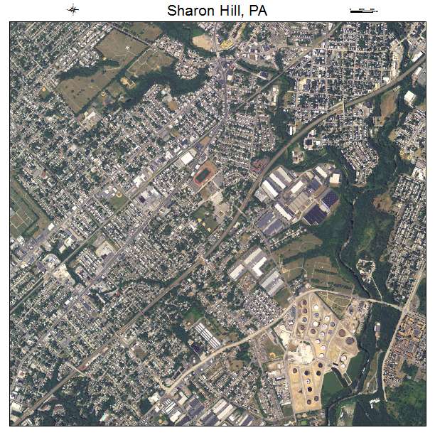
Sharon Hill, PA Pennsylvania Aerial Photography Map 2019
https://www.landsat.com/sharon-hill-pennsylvania-aerial-photography-map.html?srsltid=AfmBOoqh1dxCUVrazW6MlcokIeY-G4aBdubz7UyW1xFgn7T_2okNk8ec
2019 Aerial Photography Map of Sharon Hill PA Pennsylvania
Image Trader
Product ID: APM-4269752
$19.97 New In Stock