

Aerial Photo Map of Santa Clara, UT We put your small town on the map! Want a custom area Aerial Photography Map, we have imagery for the entire USA. Interested in a Street Map of the same area? Interested in digital Aerial Photography so you can make/print your own map? Interested in USGS Topographic Maps also? |
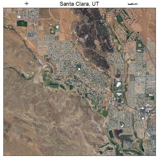
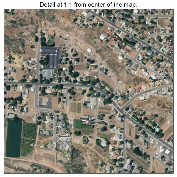
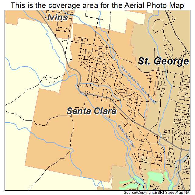
Santa Clara, UT Utah Aerial Photography Map 2021
https://www.landsat.com/santa-clara-utah-aerial-photography-map.html?srsltid=AfmBOoq5kkqG8ykA_ZVdYdUA1fYaUV_58l4wsf-5t96Ttpkqt9UimE2X
2021 Aerial Photography Map of Santa Clara UT Utah
Image Trader
Product ID: APM-4967660
$19.97 New In Stock