

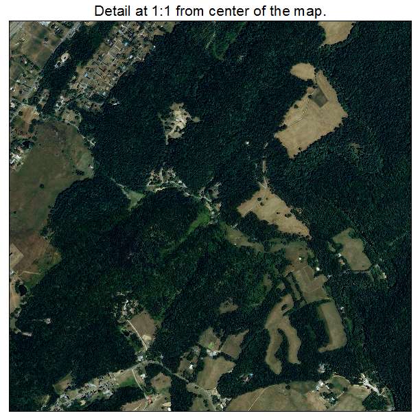
Aerial Photo Map of Rogersville, TN We put your small town on the map! Want a custom area Aerial Photography Map, we have imagery for the entire USA. Interested in a Street Map of the same area? Interested in digital Aerial Photography so you can make/print your own map? Interested in USGS Topographic Maps also? |
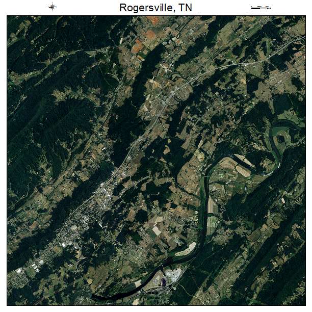
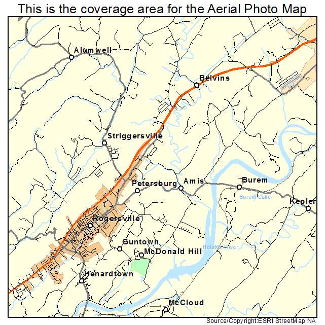
Rogersville, TN Tennessee Aerial Photography Map 2021
https://www.landsat.com/rogersville-tennessee-aerial-photography-map.html?srsltid=AfmBOor3vGitMrJrLfvqNEu3G6B5JMulhAu1Gshei2i8iFT0T7zXT04T
2021 Aerial Photography Map of Rogersville TN Tennessee
Image Trader
Product ID: APM-4764820
$19.97 New In Stock