
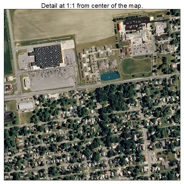
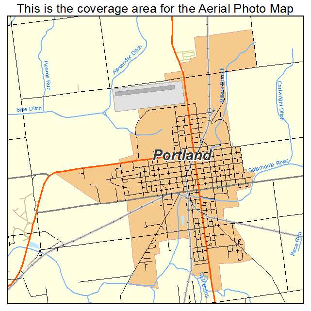
Aerial Photo Map of Portland, IN We put your small town on the map! Want a custom area Aerial Photography Map, we have imagery for the entire USA. Interested in a Street Map of the same area? Interested in digital Aerial Photography so you can make/print your own map? Interested in USGS Topographic Maps also? |
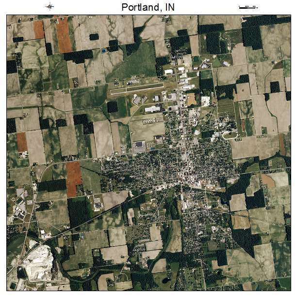
Portland, IN Indiana Aerial Photography Map 2020
https://www.landsat.com/portland-indiana-aerial-photography-map.html?srsltid=AfmBOoqI5d_Mi5Ajcvc33w9uy_TwTjUgh_x9Z6mMGXY96A7xSV4YJIax
2020 Aerial Photography Map of Portland IN Indiana
Image Trader
Product ID: APM-1861236
$19.97 New In Stock