

Pierre SD High Resolution Aerial Photography Product Information
For GIS professionals only:
**PLEASE NOTE- No samples are provided because this is a special order. If you would like to see a snapshot of this imagery, email us at: sales@landsat.com
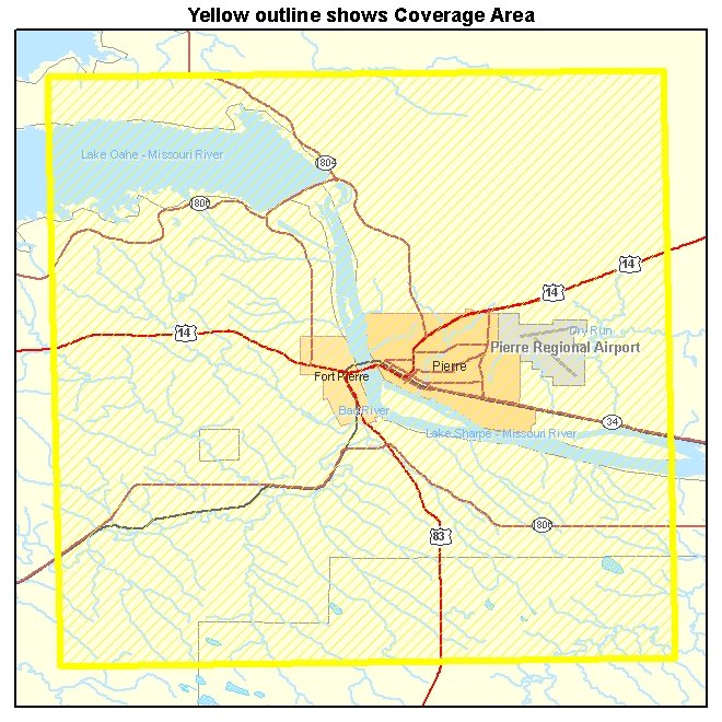
Pierre SD Aerial Photography 2005 0.30 meter
https://www.landsat.com/pierre-sd-ua31101.html
High Resolution Aerial Photography for Pierre SD 2005
Image Trader
Product ID: sd-ua_311_01
$199.00 New In Stock