Loading...
Home > Digital Aerial Photography > New York > NY Citywide Imagery for GIS professionals > NYSDOP_Central_NC NY Aerial Photography 2003 1.0 foot

NYSDOP_Central_NC NY Aerial Photography 2003 1.0 foot

CODE: ny-nysdop.central_2003_1ft_nc_


Price: $399.00

NYSDOP_Central_NC NY aerial photography

NYSDOP_Central_NC NY High Resolution Aerial Photography Product Information

For GIS professionals only:

  • Date = Apr/2003
  • Coverage = See coverage map above
  • Projection = SP
  • Resolution = 1.0 foot Color
  • Format = Geo-Tiff or JPEG2000 tiled
  • Compatible = all ESRI products, (ArcGIS, ArcView, ArcInfo, ArcMap, ArcPAD etc.), Erdas, MapInfo, any other GIS software that reads the format
  • Delivery = SPECIAL ORDER 2 - 6 WEEKS DELIVERY on DVD or USB hard drive
  • No restrictions of use. Commercial use is allowed.

    **PLEASE NOTE- No samples are provided because this is a special order. If you would like to see a snapshot of this imagery, email us at: sales@landsat.com

  • NYSDOP_Central_NC NY Aerial Photography 2003 1.0 foot
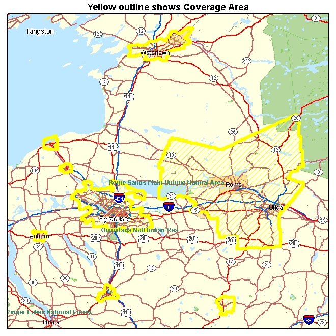
    High Resolution Aerial Photography for NYSDOP_Central_NC NY 2003
    Image Trader
    Product ID: ny-nysdop.central_2003_1ft_nc_
    $399.00 New In Stock