

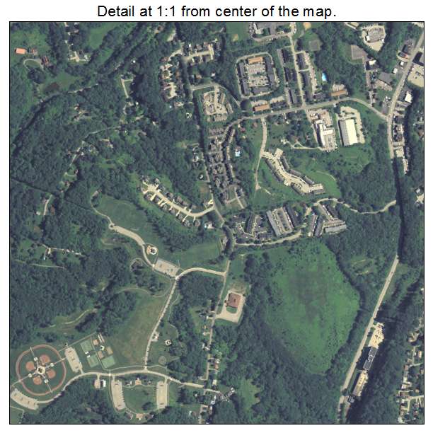
Aerial Photo Map of Municipality of Monroeville, PA We put your small town on the map! Want a custom area Aerial Photography Map, we have imagery for the entire USA. Interested in a Street Map of the same area? Interested in digital Aerial Photography so you can make/print your own map? Interested in USGS Topographic Maps also? |
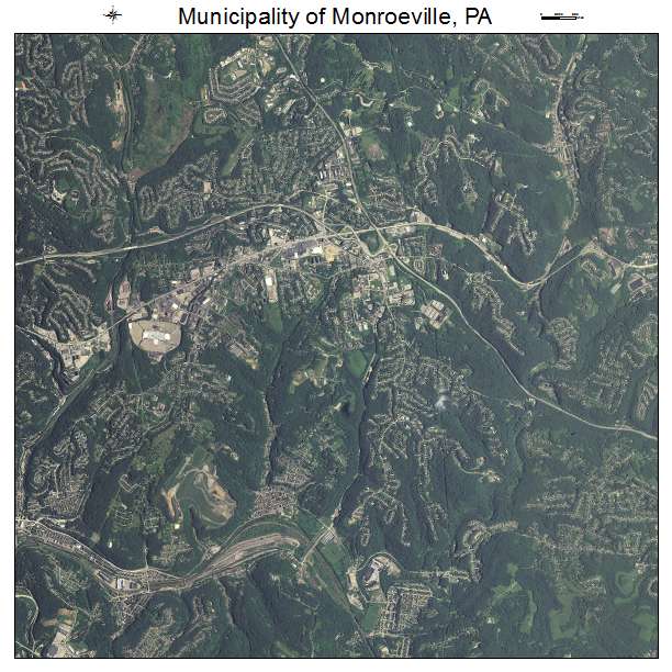
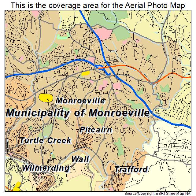
Municipality of Monroeville, PA Pennsylvania Aerial Photography Map 2019
https://www.landsat.com/municipality-of-monroeville-pennsylvania-aerial-photography-map.html?srsltid=AfmBOopuz0l6Dp6qFo-AJqH6gs77n1ud7XQI0Vkfhrk1pYVu5BE027rQ
2019 Aerial Photography Map of Municipality of Monroeville PA Pennsylvania
Image Trader
Product ID: APM-4252330
$19.97 New In Stock