

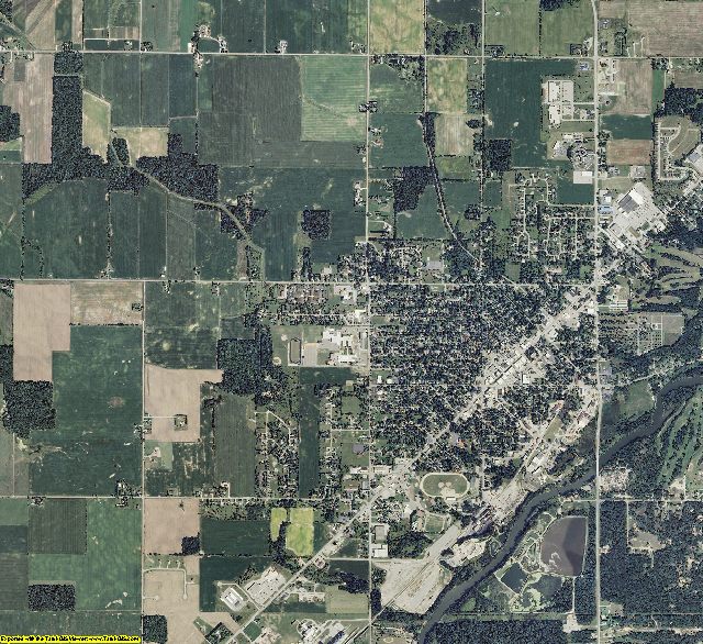
Tuscola County, MI aerial photo sample
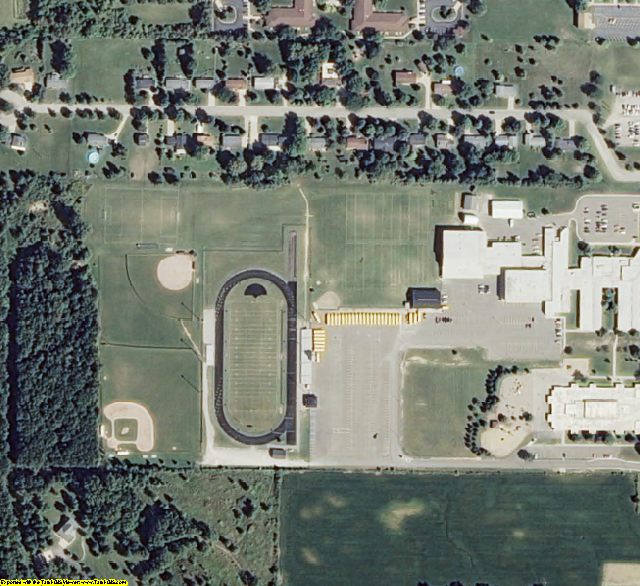
Tuscola County, MI aerial imagery zoomed in! This shows the level of detail you will get for Michigan
See samples from other locations: Airport Stadium School City Farm Farm zoomed in
2014 Michigan Mosaic Dataset for ArcGIS 10 Product Information
The Mosaic Dataset eliminates 3 imagery problems:
1. NoData The Mosaic Dataset eliminates black areas between counties.
2. Color Balance - The data is color balanced between the counties & statewide.
3. Span UTM zones - The mosaic dataset re-projects the imagery so that it can be displayed across different UTM zones.
Info for the GIS professional:
ArcGIS, ArcView, ArcEditor, & ArcInfo are a registered trademark of Esri
2014 Michigan Mosaic Dataset for ArcGIS 10
https://www.landsat.com/michigan-mosaic.html
Statewide Mosaic Dataset for Michigan 2014 1 Meter Color
Image Trader
Product ID: MI-Mosaic
$479.00 New In Stock