Loading...
Home > Digital Aerial Photography > Florida > FL Countywide imagery from $20 > Miami-Dade County FL > 2009 High Resolution Orthoimagery for Miami-Dade County, Florida

2009 High Resolution Orthoimagery for Miami-Dade County, Florida

CODE: HRC-FL-12086-FL1ft2009TP


Price: $99.99

Holmes County, FL aerial photography
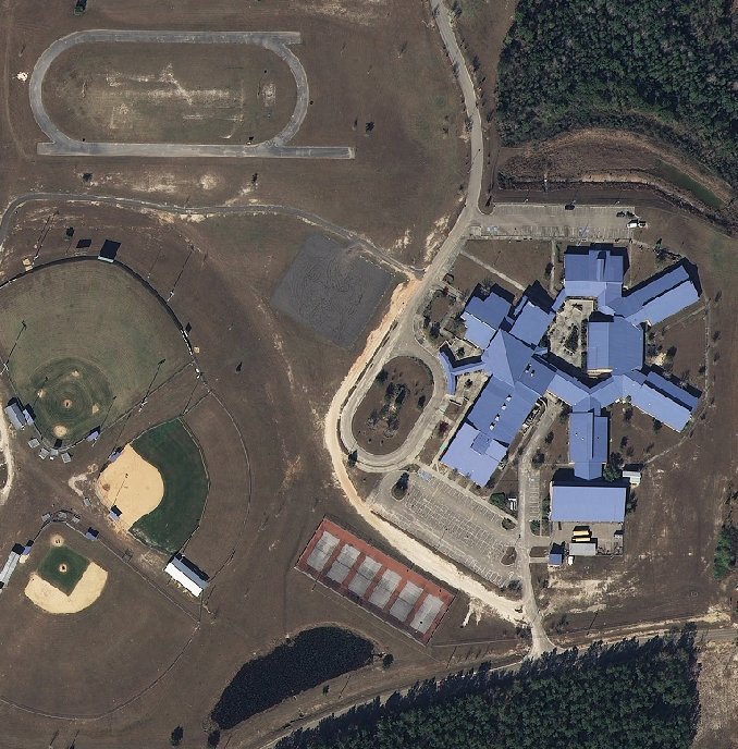
High resolution aerial photo sample from Holmes County, FL

Holmes County, FL aerial photography detail
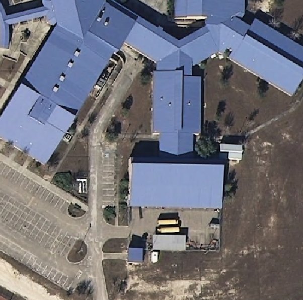
Aerial imagery zoomed in! This shows the level of detail you will get for your entire county.

Product Information: 2009 High Resolution Orthoimagery of Miami-Dade County, FL

For GIS professionals only:

  • Date = Jan 2009
  • Coverage = 50 % - East half of Miami-Dade County, Florida
  • Projection = State Plane
  • Resolution = 1 foot ortho-rectified natural color imagery
  • Format = MrSID Tiled (ESRI Image Catalog or Raster Catalog provided)
  • Compatible = all ESRI products, (ArcGIS, ArcView, ArcInfo, ArcMap, ArcPAD etc.).
  • Delivery = DVD
  • No restrictions of use. Commercial use is allowed
  • 2009 High Resolution Orthoimagery for Miami-Dade County, Florida
    2009 Aerial Photography of Miami-Dade County, Florida. Imagery compatible for GIS mapping in ArcView & ArcMap.
    Image Trader
    Product ID: HRC-FL-12086-FL1ft2009TP
    $99.99 New In Stock