

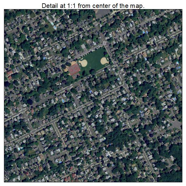
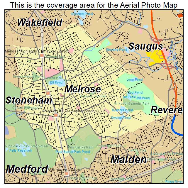
Aerial Photo Map of Melrose, MA We put your small town on the map! Want a custom area Aerial Photography Map, we have imagery for the entire USA. Interested in a Street Map of the same area? Interested in digital Aerial Photography so you can make/print your own map? Interested in USGS Topographic Maps also? |
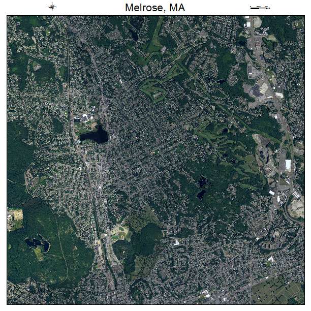
Melrose, MA Massachusetts Aerial Photography Map 2021
https://www.landsat.com/melrose-massachusetts-aerial-photography-map.html?srsltid=AfmBOookyX0yxuKWB9MZn07d2-E5b3AEdSRhsEn3X06ms5i9Bt_9Oe7J
2021 Aerial Photography Map of Melrose MA Massachusetts
Image Trader
Product ID: APM-2540115
$19.97 New In Stock