

Aerial Photo Map of Marysville, WA We put your small town on the map! Want a custom area Aerial Photography Map, we have imagery for the entire USA. Interested in a Street Map of the same area? Interested in digital Aerial Photography so you can make/print your own map? Interested in USGS Topographic Maps also? |
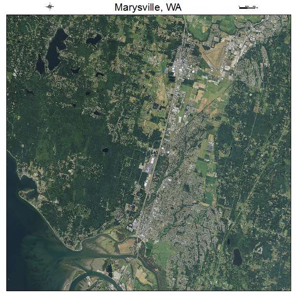
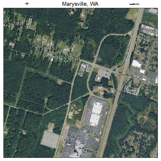
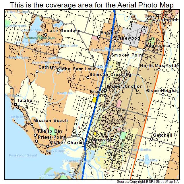
Marysville, WA Washington Aerial Photography Map 2021
https://www.landsat.com/marysville-washington-aerial-photography-map.html?srsltid=AfmBOor_bWrZVX8Q61HUpSA_uCNrwgydeH7_W9vFbyUG3wzmvYy0aPS2
2021 Aerial Photography Map of Marysville WA Washington
Image Trader
Product ID: APM-5343955
$19.97 New In Stock