
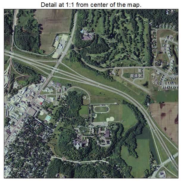
Aerial Photo Map of Mankato, MN We put your small town on the map! Want a custom area Aerial Photography Map, we have imagery for the entire USA. Interested in a Street Map of the same area? Interested in digital Aerial Photography so you can make/print your own map? Interested in USGS Topographic Maps also? |
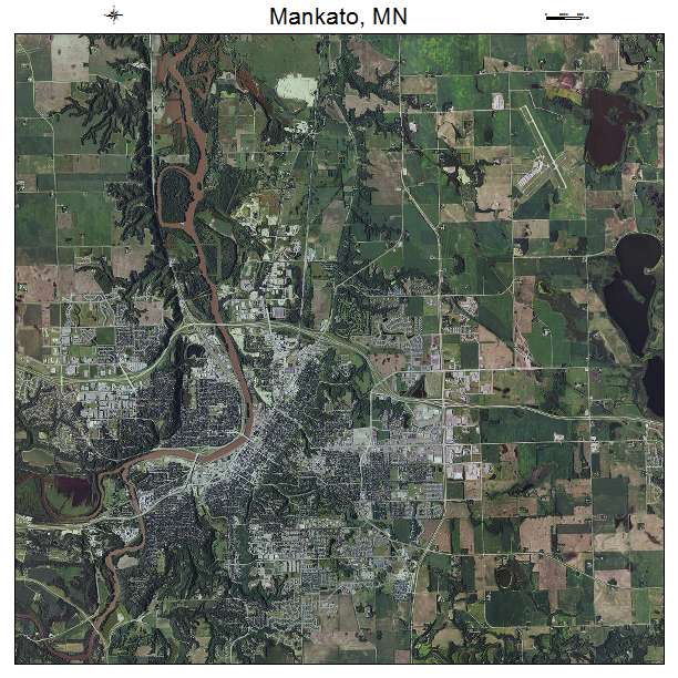
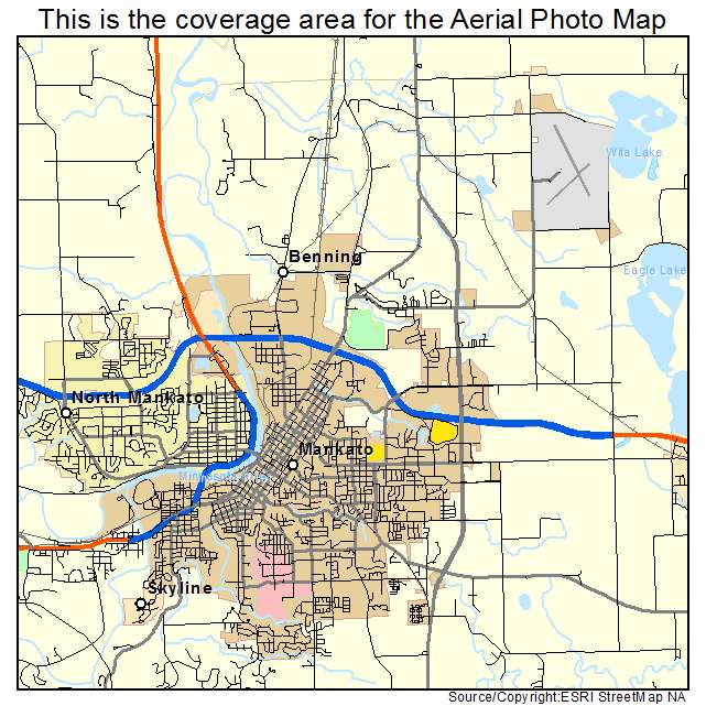
Mankato, MN Minnesota Aerial Photography Map 2021
https://www.landsat.com/mankato-minnesota-aerial-photography-map.html?srsltid=AfmBOoq7i9k1oWA5c8vQDsaFok6f72ag9E_YM2R_3rKWe7EaCdDrKZ3W
2021 Aerial Photography Map of Mankato MN Minnesota
Image Trader
Product ID: APM-2739878
$19.97 New In Stock