
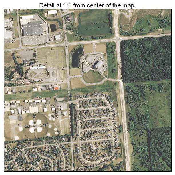
Aerial Photo Map of Machesney Park, IL We put your small town on the map! Want a custom area Aerial Photography Map, we have imagery for the entire USA. Interested in a Street Map of the same area? Interested in digital Aerial Photography so you can make/print your own map? Interested in USGS Topographic Maps also? |
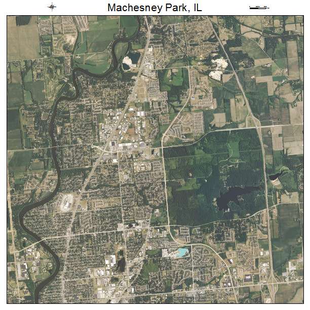
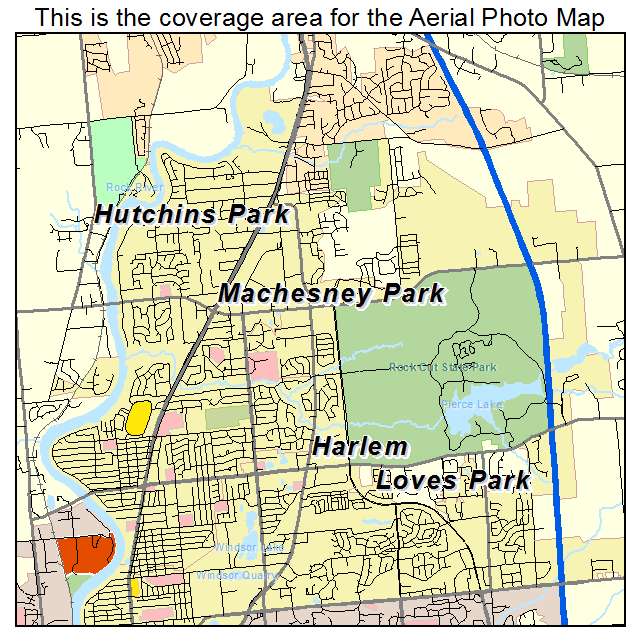
Machesney Park, IL Illinois Aerial Photography Map 2021
https://www.landsat.com/machesney-park-illinois-aerial-photography-map.html?srsltid=AfmBOorJY5vs9dmeYrzWS3QkZctKCHQxRnkW_KN-77wY6CSb-_nB-bk-
2021 Aerial Photography Map of Machesney Park IL Illinois
Image Trader
Product ID: APM-1745726
$19.97 New In Stock