

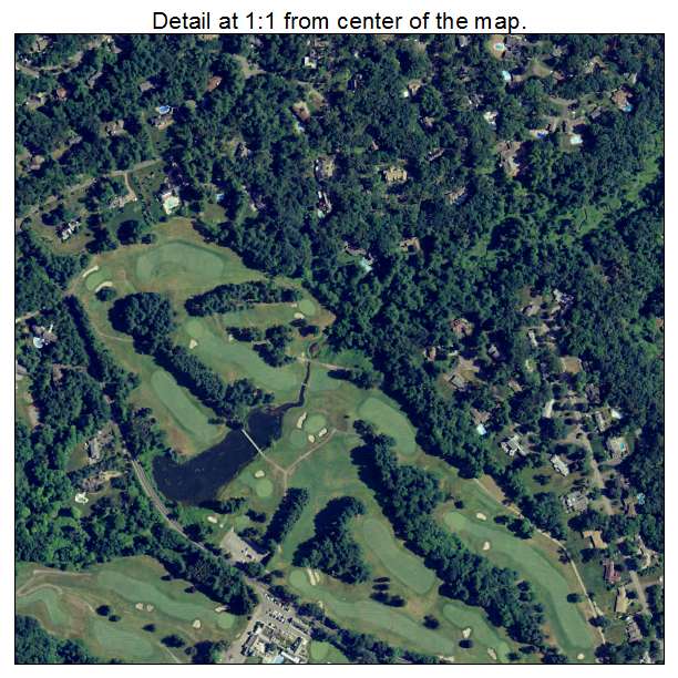
Aerial Photo Map of Longmeadow, MA We put your small town on the map! Want a custom area Aerial Photography Map, we have imagery for the entire USA. Interested in a Street Map of the same area? Interested in digital Aerial Photography so you can make/print your own map? Interested in USGS Topographic Maps also? |
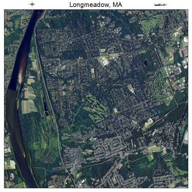
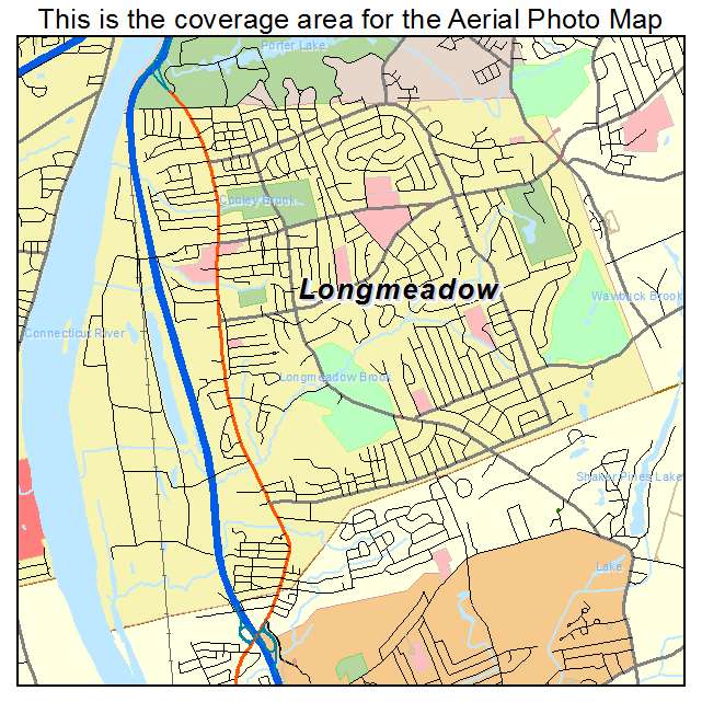
Longmeadow, MA Massachusetts Aerial Photography Map 2021
https://www.landsat.com/longmeadow-massachusetts-aerial-photography-map.html?srsltid=AfmBOoopd0PRscPj11nlTdWf2nOZ5y4fCbL3GJUT9x0ol-Q1S5aqKeyl
2021 Aerial Photography Map of Longmeadow MA Massachusetts
Image Trader
Product ID: APM-2536335
$19.97 New In Stock