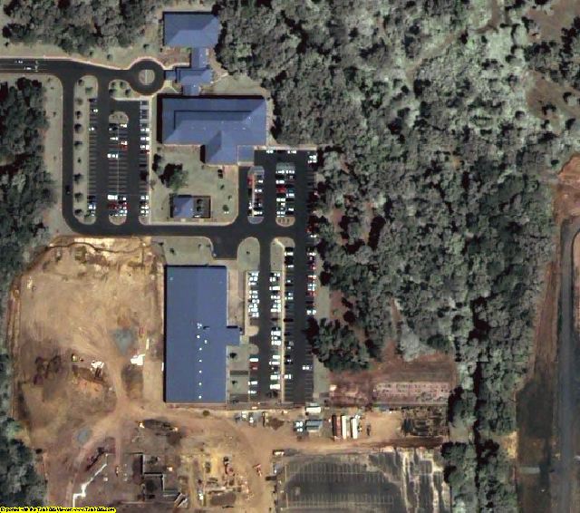
Little Rock, AR Individual MrSID Tiles
Purchase just the area you need for $19.99 a tile. Tile map.
For GIS professionals only:
Date = 3/2003Coverage = Select individual tiles from this map. After you purchase, email your tile list to sales@landsat.comProjection = State PlaneResolution = 0.6 meter Natural color, ortho-rectified, & color balancedFormat = MrSID 10:1Compatible = all ESRI products, (ArcGIS, ArcView, ArcInfo, ArcMap, ArcPAD etc.), Erdas, MapInfo, ERMapper, AutoCAD any other GIS software that reads MrSID formatDelivery = FTP, CD, or DVDNo restrictions of use. Commercial use is allowed. Use in publications, websites, & maps/posters. You get full utility of the data - not just a jpg snapshot! Our competitors license their imagery and state "You may not use the imagery in any commercial or business environment or for any commercial or business purposes for yourself or any third parties."

