
Aerial Photo Map of Linton Hall, VA We put your small town on the map! Want a custom area Aerial Photography Map, we have imagery for the entire USA. Interested in a Street Map of the same area? Interested in digital Aerial Photography so you can make/print your own map? Interested in USGS Topographic Maps also? |
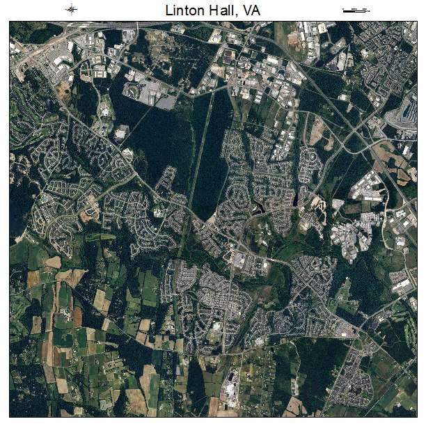

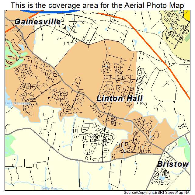
Linton Hall, VA Virginia Aerial Photography Map 2021
https://www.landsat.com/linton-hall-virginia-aerial-photography-map.html?srsltid=AfmBOoqMpH3hi-3pCabA8k7O5DiWUniQg0Z9JX8oz5f5vllB1QicC67M
2021 Aerial Photography Map of Linton Hall VA Virginia
Image Trader
Product ID: APM-5145957
$19.97 New In Stock