Loading...
Home > Digital Aerial Photography > Delaware > DE Countywide imagery from $20 > Kent County DE > 2007 High Resolution Orthoimagery for Kent County, Delaware

2007 High Resolution Orthoimagery for Kent County, Delaware

CODE: HRC-DE-10001-DE25cm2007T


Price: $99.99

Random sample from DE aerial photography
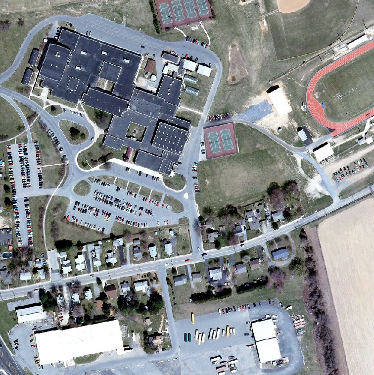
High resolution aerial photo sample from Random sample from DE

Random sample from DE aerial photography detail
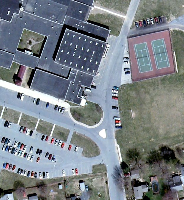
Aerial imagery zoomed in! This shows the level of detail you will get for your entire county.

Product Information: 2007 High Resolution Orthoimagery of Kent County, DE

For GIS professionals only:

  • Date = 2007
  • Coverage = All of Kent County, Delaware
  • Projection = State Plane
  • Resolution = 25 centimeter ortho-rectified natural color imagery
  • Format = JPEG2000 Tiled (ESRI Image Catalog or Raster Catalog provided)
  • Compatible = all ESRI products, (ArcGIS, ArcView, ArcInfo, ArcEditor.).
  • Delivery = DVD
  • No restrictions of use. Commercial use is allowed
  • 2007 High Resolution Orthoimagery for Kent County, Delaware
    2007 Aerial Photography of Kent County, Delaware. Imagery compatible for GIS mapping in ArcView & ArcMap.
    Image Trader
    Product ID: HRC-DE-10001-DE25cm2007T
    $99.99 New In Stock