

Aerial Photo Map of Kendallville, IN We put your small town on the map! Want a custom area Aerial Photography Map, we have imagery for the entire USA. Interested in a Street Map of the same area? Interested in digital Aerial Photography so you can make/print your own map? Interested in USGS Topographic Maps also? |
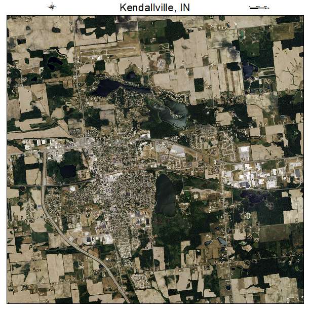
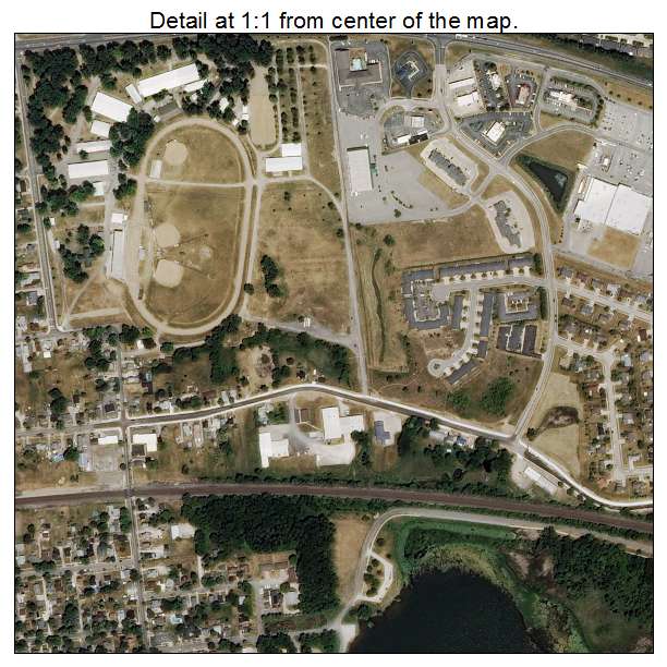
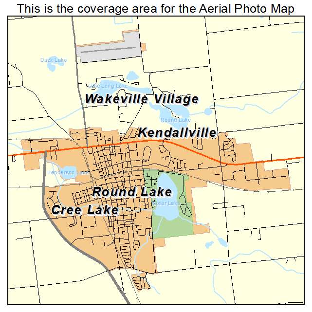
Kendallville, IN Indiana Aerial Photography Map 2020
https://www.landsat.com/kendallville-indiana-aerial-photography-map.html?srsltid=AfmBOorpMm85aehgS81kWOs9-Dyd2U9bA-h6-PaslrKL54oz7oDz-x-e
2020 Aerial Photography Map of Kendallville IN Indiana
Image Trader
Product ID: APM-1839402
$19.97 New In Stock