

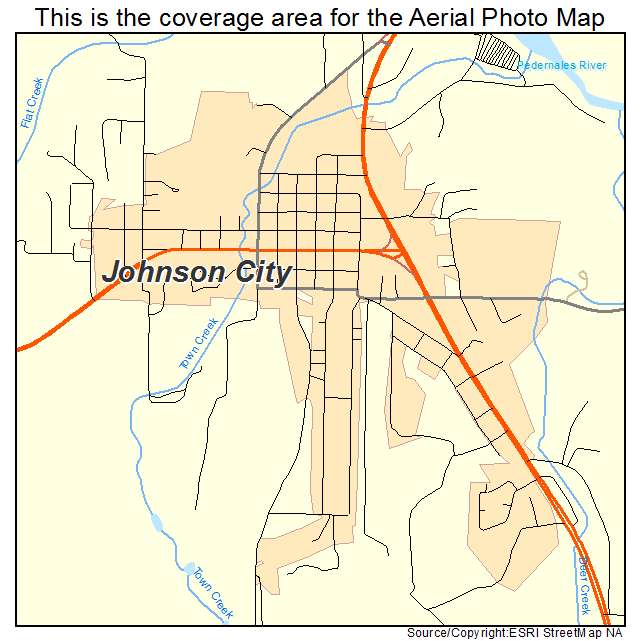
Aerial Photo Map of Johnson City, TX We put your small town on the map! Want a custom area Aerial Photography Map, we have imagery for the entire USA. Interested in a Street Map of the same area? Interested in digital Aerial Photography so you can make/print your own map? Interested in USGS Topographic Maps also? |
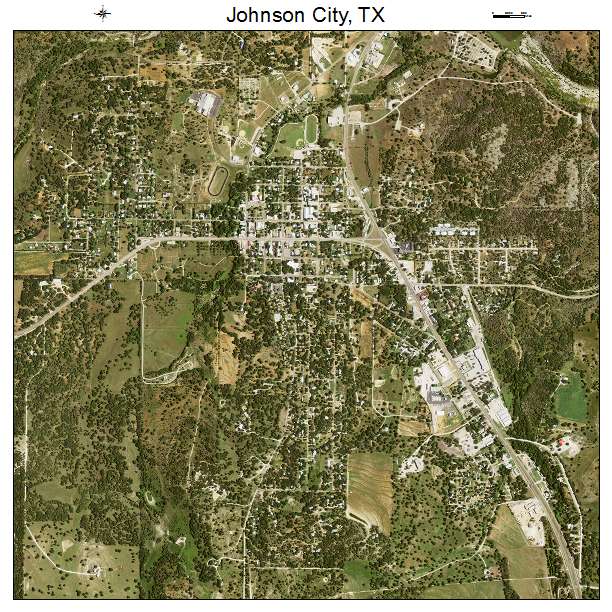
Johnson City, TX Texas Aerial Photography Map 2020
https://www.landsat.com/johnson-city-texas-aerial-photography-map.html?srsltid=AfmBOoq4Lg1l0OMxGxD_xO0HNvyeMEYm1pVF_fTxOGKAyf0UIME7Psqv
2020 Aerial Photography Map of Johnson City TX Texas
Image Trader
Product ID: APM-4837780
$19.97 New In Stock