

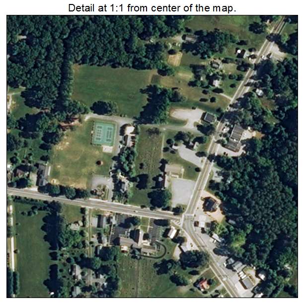
Aerial Photo Map of Irvington, VA We put your small town on the map! Want a custom area Aerial Photography Map, we have imagery for the entire USA. Interested in a Street Map of the same area? Interested in digital Aerial Photography so you can make/print your own map? Interested in USGS Topographic Maps also? |
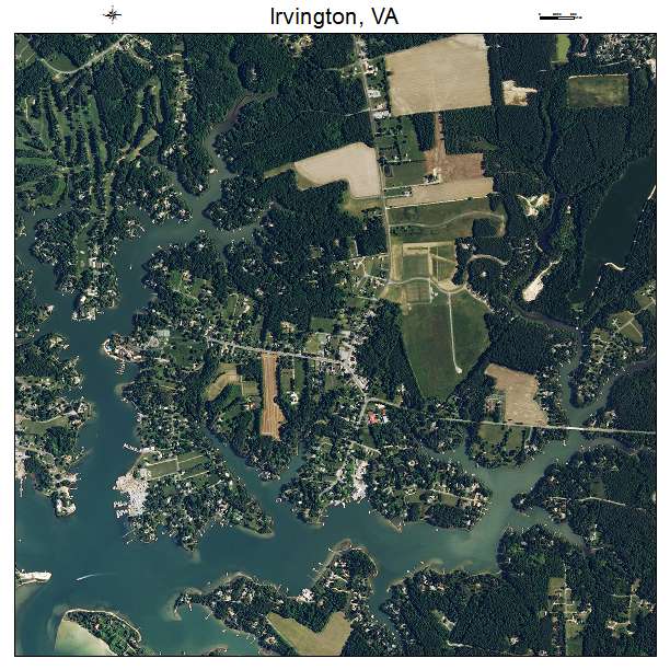
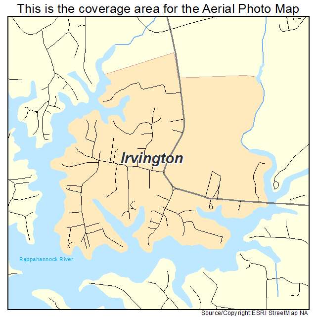
Irvington, VA Virginia Aerial Photography Map 2021
https://www.landsat.com/irvington-virginia-aerial-photography-map.html?srsltid=AfmBOop605yK5HN2Mhp6B_gQxe5524t7XAWquLwQs8vdFlW0_Dr4Wp9d
2021 Aerial Photography Map of Irvington VA Virginia
Image Trader
Product ID: APM-5140088
$19.97 New In Stock