Loading...
Home > Digital Aerial Photography > Alabama > AL Citywide Imagery for GIS professionals > Huntsville AL Aerial Photography 2010 0.15 meter

Huntsville AL Aerial Photography 2010 0.15 meter

CODE: al-00007


Price: $499.00

Huntsville AL aerial photography

Huntsville AL High Resolution Aerial Photography Product Information

For GIS professionals only:

  • Date = Mar/2010
  • Coverage = See coverage map above
  • Projection = UTM
  • Resolution = 0.15 meter Color
  • Format = Geo-Tiff or JPEG2000 tiled
  • Compatible = all ESRI products, (ArcGIS, ArcView, ArcInfo, ArcMap, ArcPAD etc.), Erdas, MapInfo, any other GIS software that reads the format
  • Delivery = GeoTiff or JPG2000 on DVD or USB hard drive
  • No restrictions of use. Commercial use is allowed.

    **PLEASE NOTE- If you would like to see a snapshot of this imagery, email us at: sales@landsat.com

  • Huntsville AL Aerial Photography 2010 0.15 meter
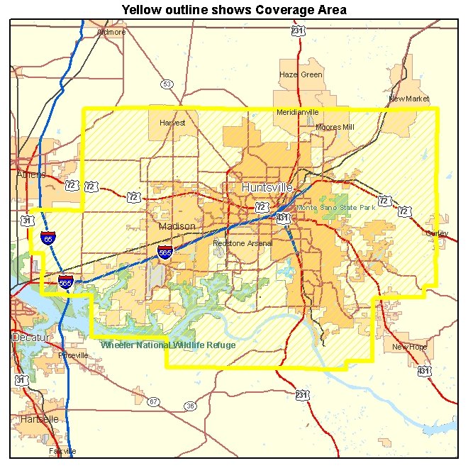
    High Resolution Aerial Photography for Huntsville AL 2010
    Image Trader
    Product ID: al-00007
    $499.00 New In Stock