

Aerial Photo Map of Hot Springs, NC We put your small town on the map! Want a custom area Aerial Photography Map, we have imagery for the entire USA. Interested in a Street Map of the same area? Interested in digital Aerial Photography so you can make/print your own map? Interested in USGS Topographic Maps also? |
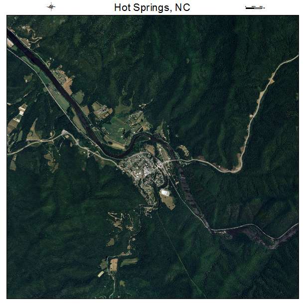
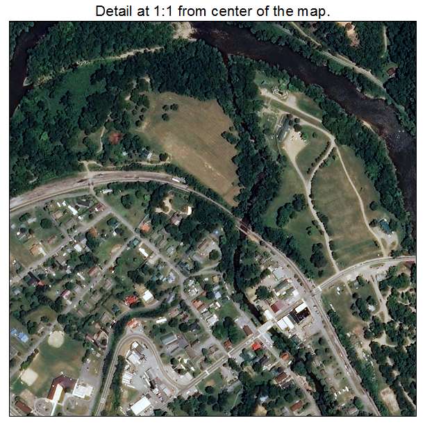

Hot Springs, NC North Carolina Aerial Photography Map 2020
https://www.landsat.com/hot-springs-north-carolina-aerial-photography-map.html?srsltid=AfmBOors0TitF0RZmQ4Ra0IV9fxNrpl91bDoU_s4N4h5OkMb8SjjD1PC
2020 Aerial Photography Map of Hot Springs NC North Carolina
Image Trader
Product ID: APM-3732840
$19.97 New In Stock