
Aerial Photo Map of Homestead, MO We put your small town on the map! Want a custom area Aerial Photography Map, we have imagery for the entire USA. Interested in a Street Map of the same area? Interested in digital Aerial Photography so you can make/print your own map? Interested in USGS Topographic Maps also? |
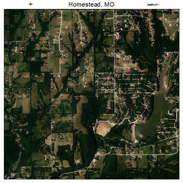
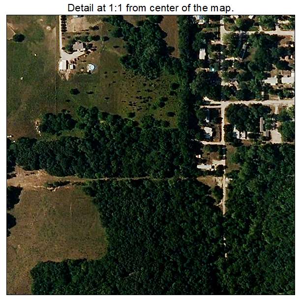
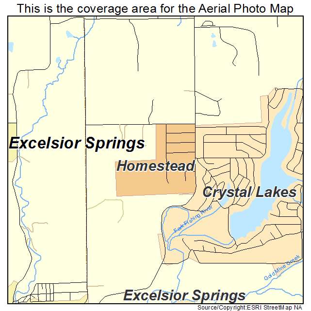
Homestead, MO Missouri Aerial Photography Map 2020
https://www.landsat.com/homestead-missouri-aerial-photography-map.html?srsltid=AfmBOopS4lQVdR-lRgDO16BVN4tdQ7NV1Ax_j5U-pJVOQOJ7whN3o6_y
2020 Aerial Photography Map of Homestead MO Missouri
Image Trader
Product ID: APM-2932806
$19.97 New In Stock