

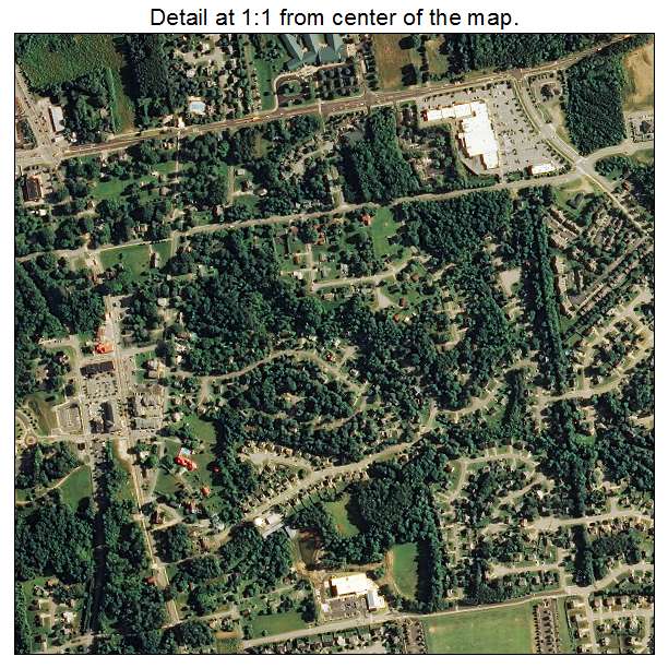
Aerial Photo Map of Holly Springs, NC We put your small town on the map! Want a custom area Aerial Photography Map, we have imagery for the entire USA. Interested in a Street Map of the same area? Interested in digital Aerial Photography so you can make/print your own map? Interested in USGS Topographic Maps also? |
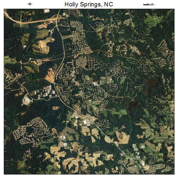
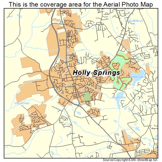
Holly Springs, NC North Carolina Aerial Photography Map 2020
https://www.landsat.com/holly-springs-north-carolina-aerial-photography-map.html?srsltid=AfmBOorXUc84P4dkivuUjPEa9Z7zkj0mkSc9--Gv-LUST8joFGb8XuPr
2020 Aerial Photography Map of Holly Springs NC North Carolina
Image Trader
Product ID: APM-3732260
$19.97 New In Stock