

Aerial Photo Map of Holly Hill, SC We put your small town on the map! Want a custom area Aerial Photography Map, we have imagery for the entire USA. Interested in a Street Map of the same area? Interested in digital Aerial Photography so you can make/print your own map? Interested in USGS Topographic Maps also? |
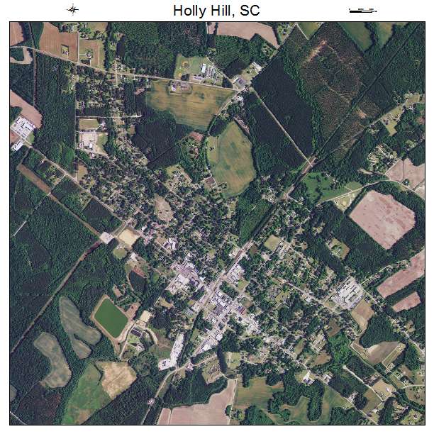
Holly Hill, SC South Carolina Aerial Photography Map 2021
https://www.landsat.com/holly-hill-south-carolina-aerial-photography-map.html?srsltid=AfmBOor8-HFi2_Z7PvVGLKvMhkmOGV9TUd4fssn0kETVW7NMCFMm-8b5
2021 Aerial Photography Map of Holly Hill SC South Carolina
Image Trader
Product ID: APM-4534360
$19.97 New In Stock