

Aerial Photo Map of Henning, MN We put your small town on the map! Want a custom area Aerial Photography Map, we have imagery for the entire USA. Interested in a Street Map of the same area? Interested in digital Aerial Photography so you can make/print your own map? Interested in USGS Topographic Maps also? |

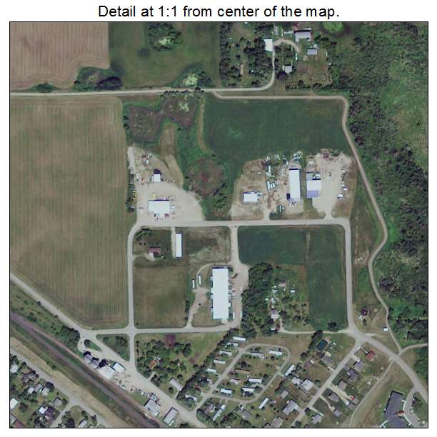
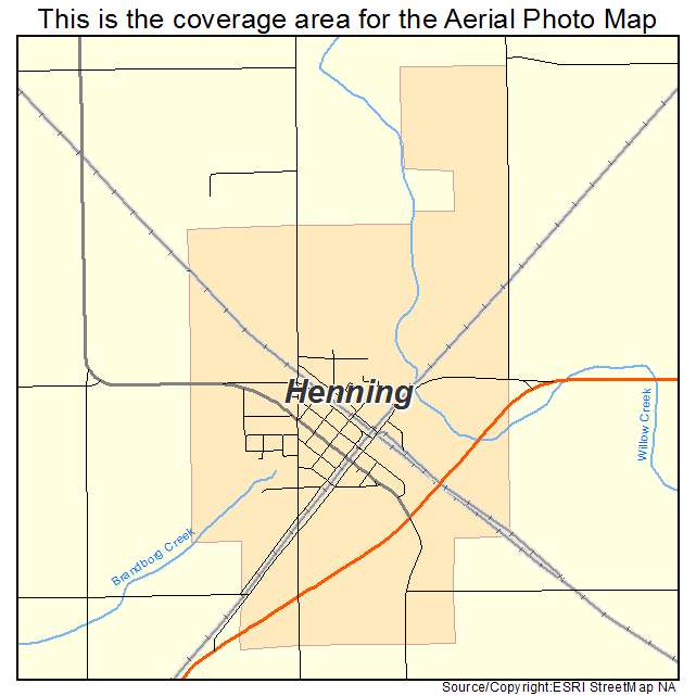
Henning, MN Minnesota Aerial Photography Map 2021
https://www.landsat.com/henning-minnesota-aerial-photography-map.html?srsltid=AfmBOoq0iUlPZI8y9wLQ2JER4XH-eKzPBqc23x41fl_F-9kUHEPg4yU9
2021 Aerial Photography Map of Henning MN Minnesota
Image Trader
Product ID: APM-2728520
$19.97 New In Stock