
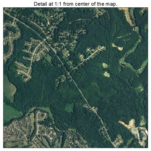
Aerial Photo Map of Greater Upper Marlboro, MD We put your small town on the map! Want a custom area Aerial Photography Map, we have imagery for the entire USA. Interested in a Street Map of the same area? Interested in digital Aerial Photography so you can make/print your own map? Interested in USGS Topographic Maps also? |
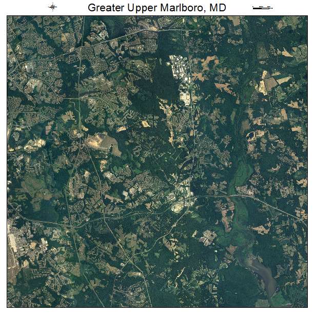
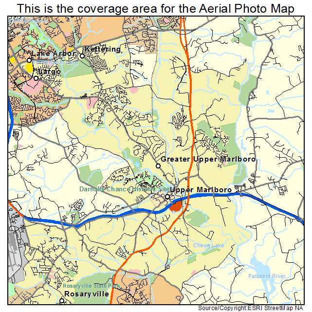
Greater Upper Marlboro, MD Maryland Aerial Photography Map 2021
https://www.landsat.com/greater-upper-marlboro-maryland-aerial-photography-map.html?srsltid=AfmBOoqBP0Io4wf7fjmYt-OiLAo9RdJ6Ap5CsVSjj7k5y9LrmoCDmHer
2021 Aerial Photography Map of Greater Upper Marlboro MD Maryland
Image Trader
Product ID: APM-2434712
$19.97 New In Stock