
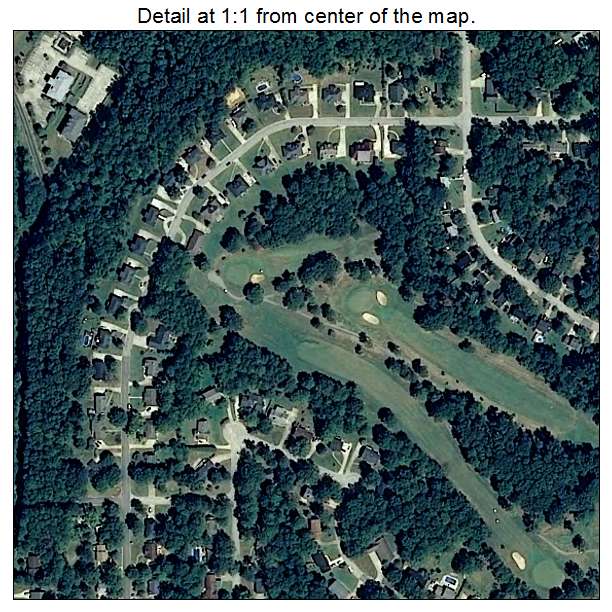
Aerial Photo Map of Grayson Valley, AL We put your small town on the map! Want a custom area Aerial Photography Map, we have imagery for the entire USA. Interested in a Street Map of the same area? Interested in digital Aerial Photography so you can make/print your own map? Interested in USGS Topographic Maps also? |
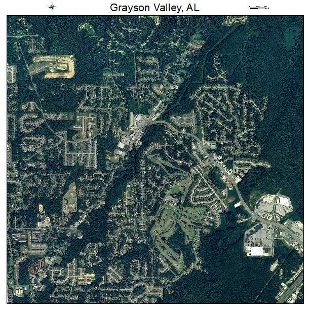
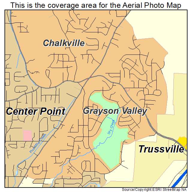
Grayson Valley, AL Alabama Aerial Photography Map 2021
https://www.landsat.com/grayson-valley-alabama-aerial-photography-map.html?srsltid=AfmBOorKsiG6n920sN85SnVaR5UrJuY-5BfU6riW1XPO3xG-u2W4X52r
2021 Aerial Photography Map of Grayson Valley AL Alabama
Image Trader
Product ID: APM-0131348
$19.97 New In Stock