
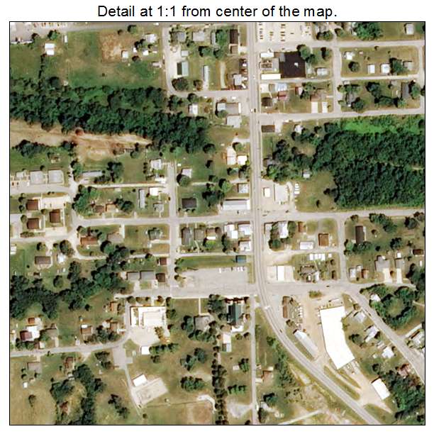
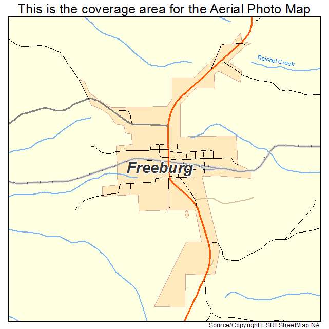
Aerial Photo Map of Freeburg, MO We put your small town on the map! Want a custom area Aerial Photography Map, we have imagery for the entire USA. Interested in a Street Map of the same area? Interested in digital Aerial Photography so you can make/print your own map? Interested in USGS Topographic Maps also? |
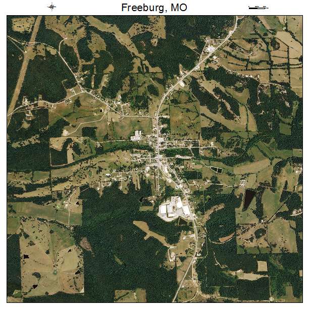
Freeburg, MO Missouri Aerial Photography Map 2020
https://www.landsat.com/freeburg-missouri-aerial-photography-map.html?srsltid=AfmBOorjt9AvxtcCM1nZ4G1l0Y3WTV4eP1n7IPCN5HGPE_L0CDQ5g6Ef
2020 Aerial Photography Map of Freeburg MO Missouri
Image Trader
Product ID: APM-2925822
$19.97 New In Stock