
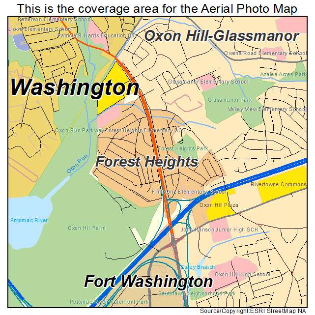
Aerial Photo Map of Forest Heights, MD We put your small town on the map! Want a custom area Aerial Photography Map, we have imagery for the entire USA. Interested in a Street Map of the same area? Interested in digital Aerial Photography so you can make/print your own map? Interested in USGS Topographic Maps also? |
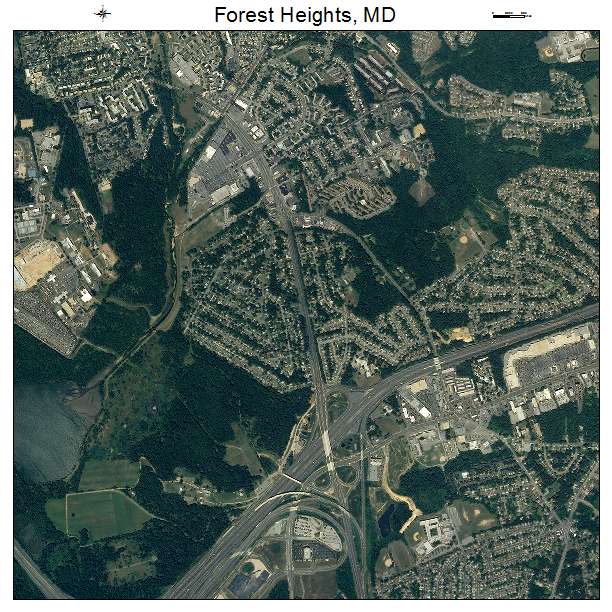

Forest Heights, MD Maryland Aerial Photography Map 2021
https://www.landsat.com/forest-heights-maryland-aerial-photography-map.html?srsltid=AfmBOoqVD211NlMc-33ettjjWwPLn3boxkaejujZw81j_ly4DidnVZDb
2021 Aerial Photography Map of Forest Heights MD Maryland
Image Trader
Product ID: APM-2428725
$19.97 New In Stock