
Aerial Photo Map of Ferndale, WA We put your small town on the map! Want a custom area Aerial Photography Map, we have imagery for the entire USA. Interested in a Street Map of the same area? Interested in digital Aerial Photography so you can make/print your own map? Interested in USGS Topographic Maps also? |
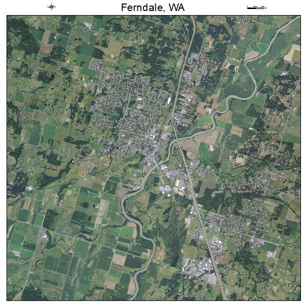
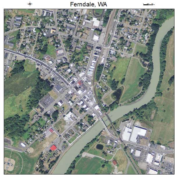
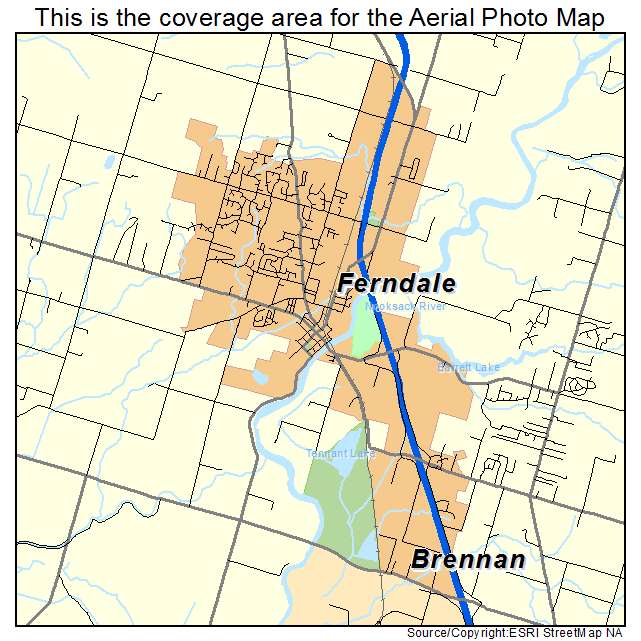
Ferndale, WA Washington Aerial Photography Map 2021
https://www.landsat.com/ferndale-washington-aerial-photography-map.html?srsltid=AfmBOooSYu0p9mrg6en9tDGe2Vz5aU7FxoZpOZ5hl37eeaatCoAMddyv
2021 Aerial Photography Map of Ferndale WA Washington
Image Trader
Product ID: APM-5323620
$19.97 New In Stock