

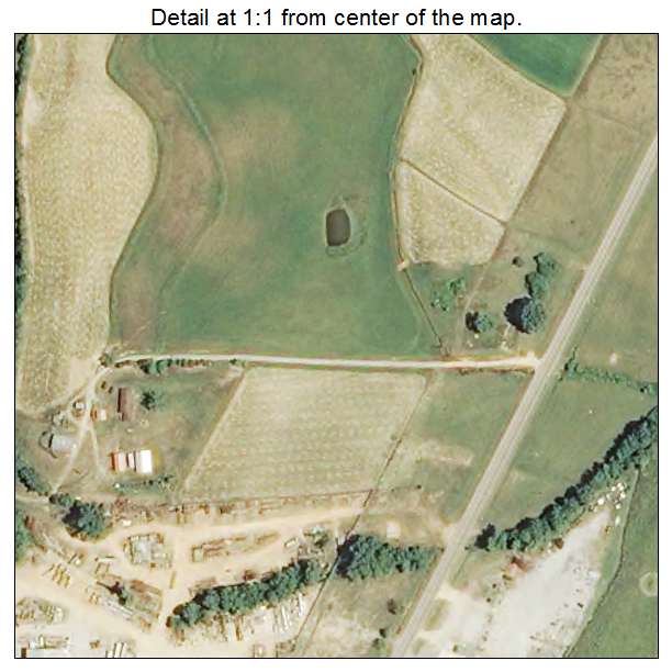
Aerial Photo Map of Falkner, MS We put your small town on the map! Want a custom area Aerial Photography Map, we have imagery for the entire USA. Interested in a Street Map of the same area? Interested in digital Aerial Photography so you can make/print your own map? Interested in USGS Topographic Maps also? |
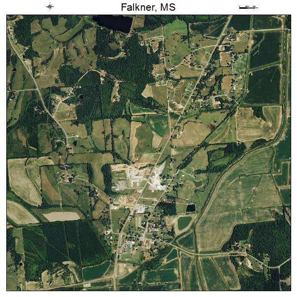
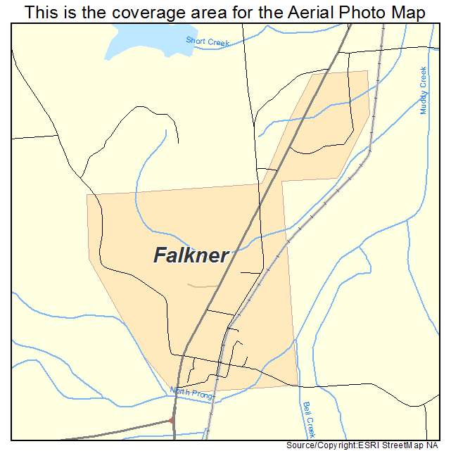
Falkner, MS Mississippi Aerial Photography Map 2021
https://www.landsat.com/falkner-mississippi-aerial-photography-map.html
2021 Aerial Photography Map of Falkner MS Mississippi
Image Trader
Product ID: APM-2824220
$19.97 New In Stock