

Aerial Photo Map of Dunnellon, FL We put your small town on the map! Want a custom area Aerial Photography Map, we have imagery for the entire USA. Interested in a Street Map of the same area? Interested in digital Aerial Photography so you can make/print your own map? Interested in USGS Topographic Maps also? |
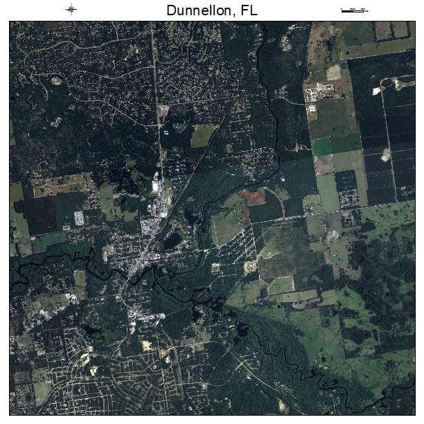
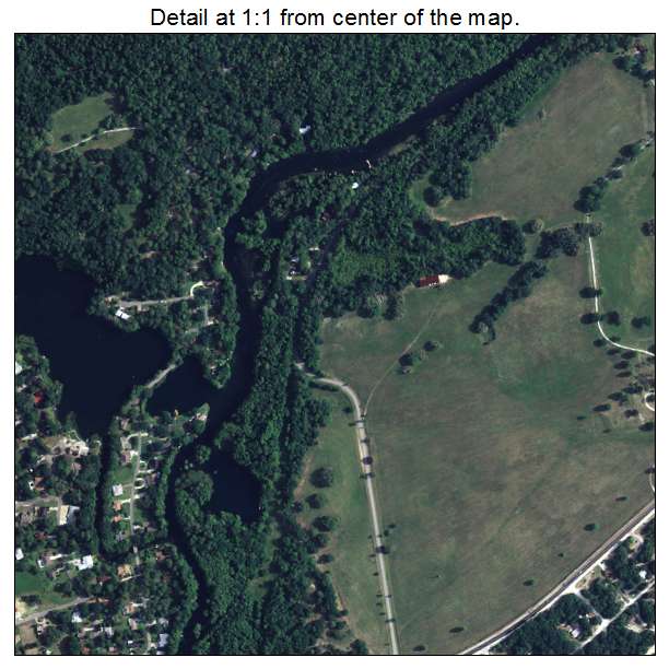
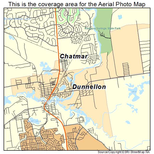
Dunnellon, FL Florida Aerial Photography Map 2021
https://www.landsat.com/dunnellon-florida-aerial-photography-map.html?srsltid=AfmBOoqua4vI2VU8ALywMoo9G3iOWKFpzk__7Z5gYY6NbK3UJ6Ftf0x5
2021 Aerial Photography Map of Dunnellon FL Florida
Image Trader
Product ID: APM-1218675
$19.97 New In Stock