
Aerial Photo Map of Dardenne Prairie, MO We put your small town on the map! Want a custom area Aerial Photography Map, we have imagery for the entire USA. Interested in a Street Map of the same area? Interested in digital Aerial Photography so you can make/print your own map? Interested in USGS Topographic Maps also? |
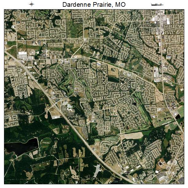

Dardenne Prairie, MO Missouri Aerial Photography Map 2020
https://www.landsat.com/dardenne-prairie-missouri-aerial-photography-map.html?srsltid=AfmBOoov77dj28xmCY81IvwRG_fD7A0m9pv6JhE9Ex4gM_yER5Hdmfic
2020 Aerial Photography Map of Dardenne Prairie MO Missouri
Image Trader
Product ID: APM-2918253
$19.97 New In Stock