

Aerial Photo Map of Custer, SD We put your small town on the map! Want a custom area Aerial Photography Map, we have imagery for the entire USA. Interested in a Street Map of the same area? Interested in digital Aerial Photography so you can make/print your own map? Interested in USGS Topographic Maps also? |
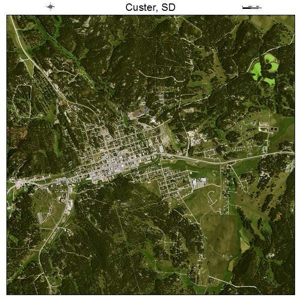
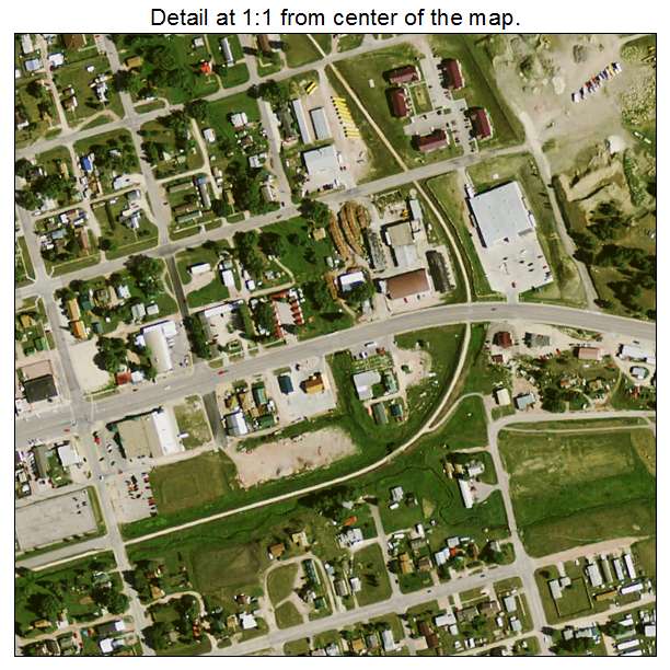
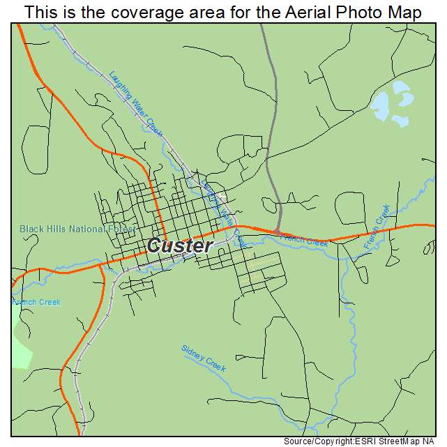
Custer, SD South Dakota Aerial Photography Map 2021
https://www.landsat.com/custer-south-dakota-aerial-photography-map.html?srsltid=AfmBOorbU2r4BVhepRy6aB75y0Md0FUrQoc9e96F-QG2W3RKErs2D4by
2021 Aerial Photography Map of Custer SD South Dakota
Image Trader
Product ID: APM-4615140
$19.97 New In Stock