

Aerial Photo Map of Cicero, IL We put your small town on the map! Want a custom area Aerial Photography Map, we have imagery for the entire USA. Interested in a Street Map of the same area? Interested in digital Aerial Photography so you can make/print your own map? Interested in USGS Topographic Maps also? |
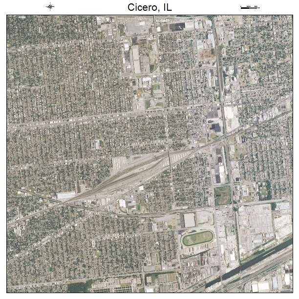
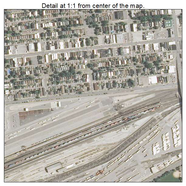
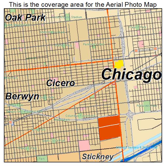
Cicero, IL Illinois Aerial Photography Map 2021
https://www.landsat.com/cicero-illinois-aerial-photography-map.html?srsltid=AfmBOoqUl_YfsqLoWPhrrBHUGV7mPsEHAW61hhduP_4e-hqdD7C2d1us
2021 Aerial Photography Map of Cicero IL Illinois
Image Trader
Product ID: APM-1714351
$19.97 New In Stock